UN/LOCODE hub · Netherlands
NLMJA

Mandjeswaard

52.5667°, 5.9167°
2
Transport functions

Transport Functions

Port
Road
UN/LOCODE

Hub Profile

Region
OV
GeoNames

Location

Location of NLMJA
Natural Earth 10m (public domain) · OV · NLMJA · 52.57, 5.92GoogleOSMYandex

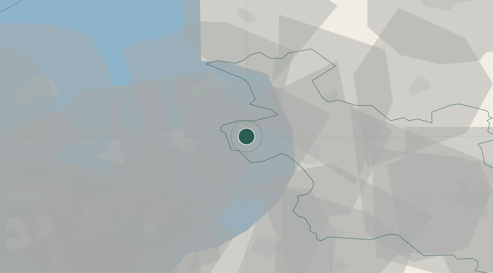
Nearby Logistics Neighbours

Cities
  1. 1IJsselmuiden0 km
  2. 2Kampen3 km
  3. 3Oude Wetering8 km
  4. 4Ketelhaven11 km
  5. 5Katerveer13 km
Nearest neighbours — logibook spatial index (haversine) over the source coordinates
Ports
  1. 1Amsterdam72 km
  2. 2Zaandam75 km
  3. 3Harlingen76 km
  4. 4Den Helder88 km
  5. 5Ijmuiden91 km
Nearest neighbours — logibook spatial index (haversine) over the source coordinates
Airports
  1. 1Lelystad Airport30 km
  2. 2Deelen Air Base56 km
  3. 3Twente Airport73 km
  4. 4Leeuwarden Air Base74 km
  5. 5Groningen Airport Eelde76 km
Nearest neighbours — logibook spatial index (haversine) over the source coordinates
Trade Zones
  1. 1Freeport of Emden121 km
  2. 2Freeport of Duisburg133 km
  3. 3Rheinische Revier SWZ187 km
  4. 4Freeport of Bremerhaven (Freihafen Bremerhaven)201 km
  5. 5Freeport of Cuxhaven (Freihafen Cuxhaven)225 km
Nearest neighbours — logibook spatial index (haversine) over the source coordinates
DatabookThe Record of Consolidated Knowledge
Netherlands beyond logistics?
Browse databook

All Sources

LocationsUN/LOCODE
UN/LOCODE — free
Portsthe NGA World Port Index
Public domain (US gov)
AirportsOurAirports
Public domain
Trade Zonesthe World Bank SEZ database
CC BY 4.0
Trade ZonesOpen Zone Map
CC BY
← Netherlands locations