UN/LOCODE hub · Netherlands
NLISM
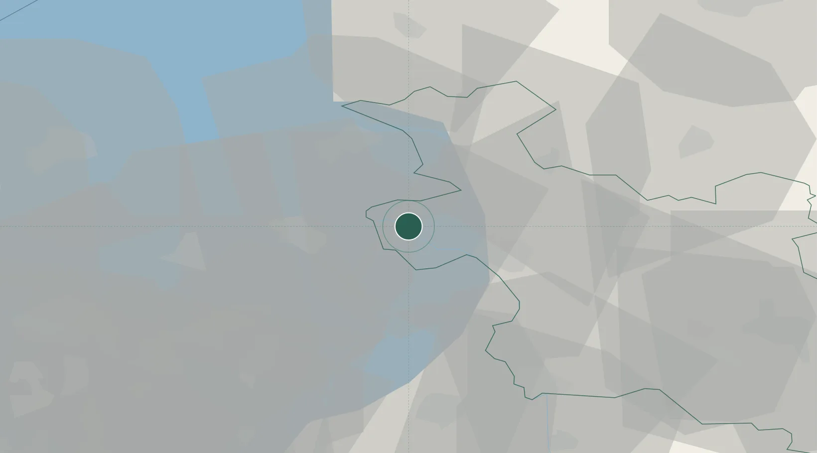
IJsselmuiden
52.5667°, 5.9167°
12,670
Population
3
Transport functions
Transport Functions
Port
Rail
Road
Hub Profile
Place type
Populated place
Region
Overijssel
Population
12,670
Time zone
Europe/Amsterdam
Elevation
2 m
Location
Nearby Logistics Neighbours
Cities
- 1Mandjeswaard0 km
- 2Kampen3 km
- 3Oude Wetering8 km
- 4Ketelhaven11 km
- 5Katerveer13 km
Ports
- 1Amsterdam72 km
- 2Zaandam75 km
- 3Harlingen76 km
- 4Den Helder88 km
- 5Ijmuiden91 km
Airports
- 1Lelystad Airport30 km
- 2Deelen Air Base56 km
- 3Twente Airport73 km
- 4Leeuwarden Air Base74 km
- 5Groningen Airport Eelde76 km
Trade Zones
DatabookThe Record of Consolidated Knowledge
Netherlands beyond logistics?