Transport Functions
Port
Road
Hub Profile
Place type
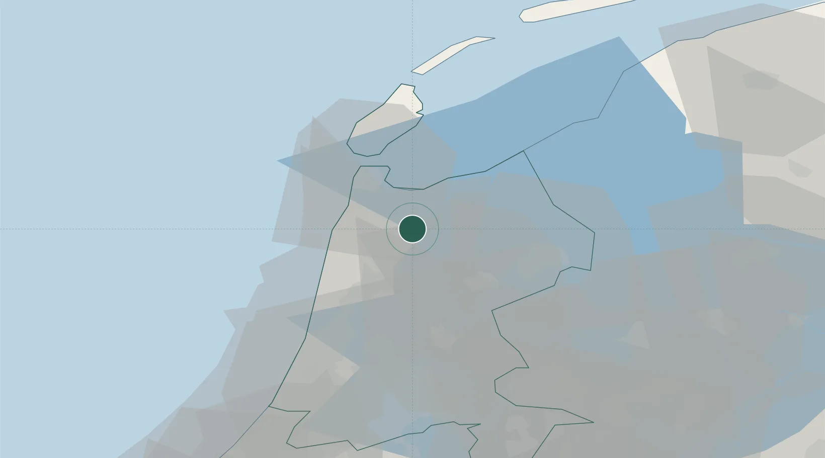
Populated place
Region
North Holland
Population
825
Time zone
Europe/Amsterdam
Elevation
-1 m
Location
Nearby Logistics Neighbours
Cities
- 1Kreil1 km
- 2De Strook2 km
- 3Barsingerhorn3 km
- 4Schagen7 km
- 5Anna Paulowna8 km
Ports
- 1Den Helder20 km
- 2Zaandam41 km
- 3Ijmuiden42 km
- 4Amsterdam48 km
- 5Harlingen56 km
Airports
Trade Zones
- 1Freeport of Emden165 km
- 2Freeport of Duisburg190 km
- 3Rheinische Revier SWZ234 km
- 4ZFU Tourcoing260 km
- 5Freeport of Bremerhaven (Freihafen Bremerhaven)263 km
DatabookThe Record of Consolidated Knowledge
Netherlands beyond logistics?