Transport Functions
Port
Road
Hub Profile
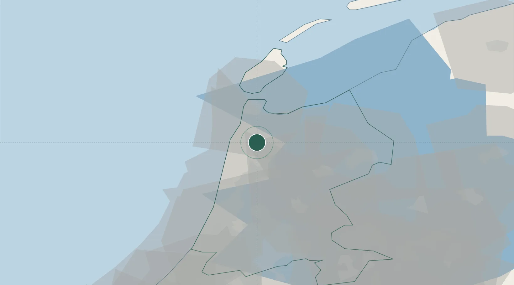
Place type
Populated place
Region
North Holland
Population
5,910
Time zone
Europe/Amsterdam
Elevation
3 m
Location
Nearby Logistics Neighbours
Cities
- 1Schagerbrug2 km
- 2Sint Maartensbrug3 km
- 3Sint Maartensvlotbrug5 km
- 4Barsingerhorn5 km
- 5Stolpervlotbrug5 km
Ports
- 1Den Helder20 km
- 2Ijmuiden38 km
- 3Zaandam39 km
- 4Amsterdam47 km
- 5Harlingen61 km
Airports
Trade Zones
- 1Freeport of Emden172 km
- 2Freeport of Duisburg193 km
- 3Rheinische Revier SWZ236 km
- 4ZFU Tourcoing255 km
- 5ZFU Saint Pol sur Mer257 km
DatabookThe Record of Consolidated Knowledge
Netherlands beyond logistics?