Transport Functions
Port
Road
Hub Profile
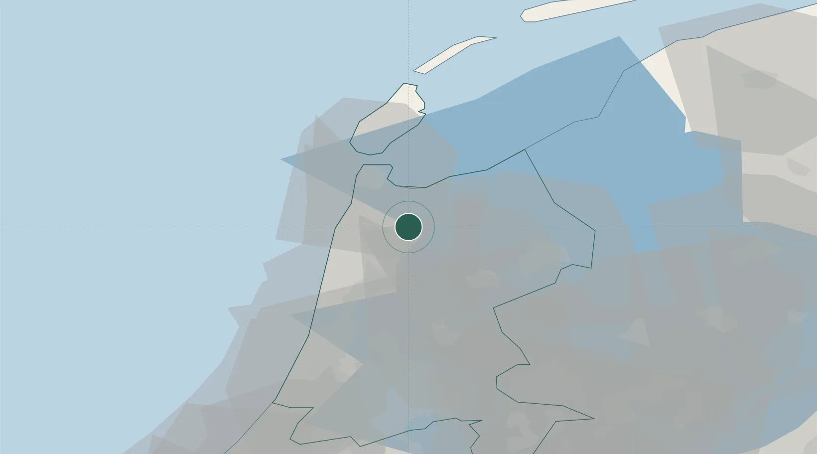
Place type
Populated place
Region
North Holland
Time zone
Europe/Amsterdam
Elevation
-2 m
Location
Nearby Logistics Neighbours
Cities
- 1Kolhorn1 km
- 2Barsingerhorn2 km
- 3De Strook3 km
- 4Schagen6 km
- 5Schagerbrug7 km
Ports
- 1Den Helder19 km
- 2Zaandam41 km
- 3Ijmuiden42 km
- 4Amsterdam48 km
- 5Harlingen56 km
Airports
Trade Zones
- 1Freeport of Emden166 km
- 2Freeport of Duisburg191 km
- 3Rheinische Revier SWZ235 km
- 4ZFU Tourcoing259 km
- 5ZFU Hem et Roubaix262 km
DatabookThe Record of Consolidated Knowledge
Netherlands beyond logistics?