Transport Functions
Port
Rail
Road
Hub Profile
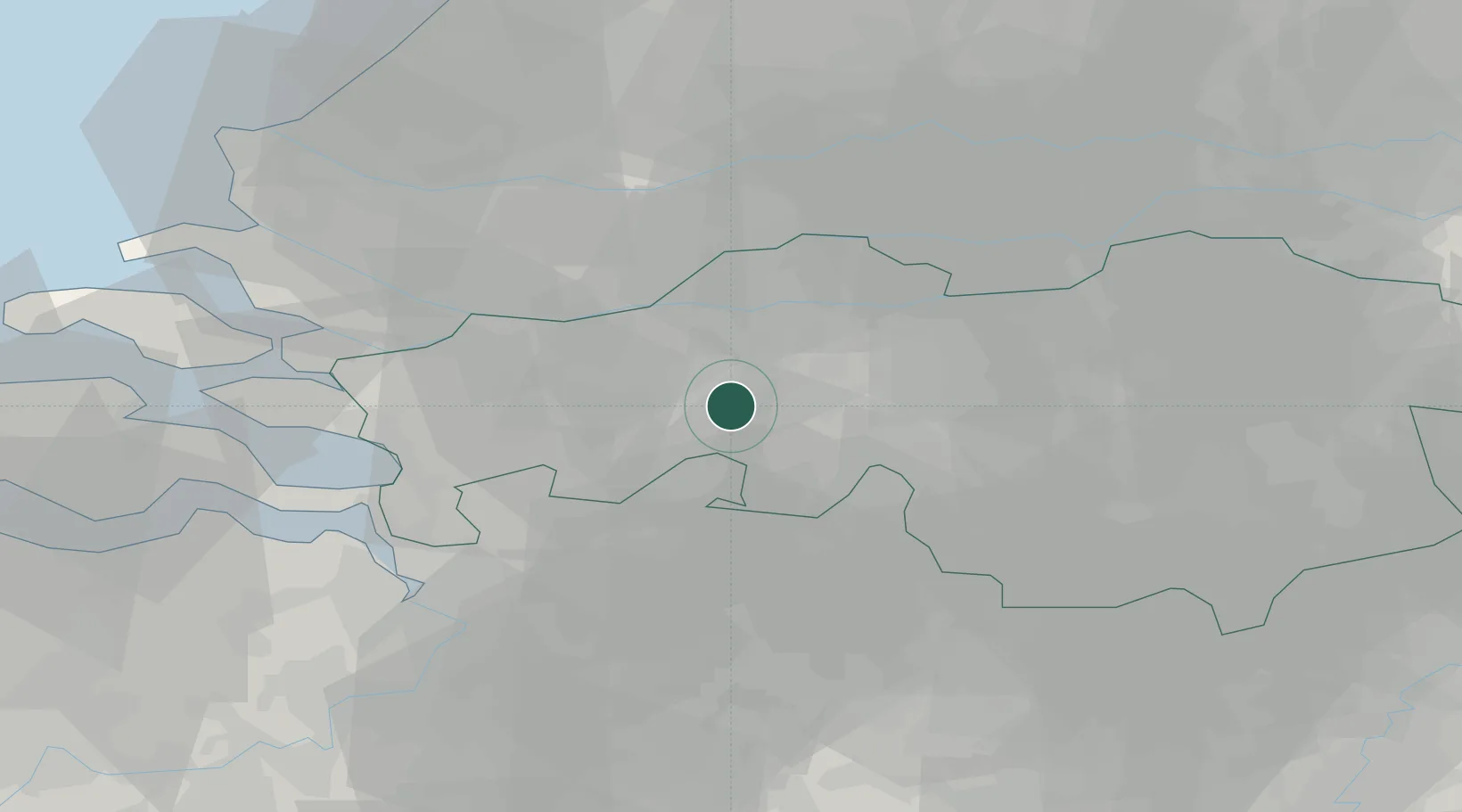
Place type
Populated place
Region
North Brabant
Population
184,126
Time zone
Europe/Amsterdam
Elevation
9 m
Location
Nearby Logistics Neighbours
Cities
- 1Teteringen4 km
- 2Terheijden8 km
- 3Chaam9 km
- 4Hazeldonk9 km
- 5Etten Leur9 km
Ports
- 1Dordrecht30 km
- 2Rotterdam43 km
- 3Schiedam46 km
- 4Antwerpen48 km
- 5Vlaardingen48 km
Airports
Trade Zones
- 1Freeport of Duisburg125 km
- 2Rheinische Revier SWZ132 km
- 3ZFU Tourcoing148 km
- 4ZFU Condé sur lEscaut149 km
- 5ZFU Hem et Roubaix150 km
DatabookThe Record of Consolidated Knowledge
Netherlands beyond logistics?