Transport Functions
Port
Rail
Road
Hub Profile
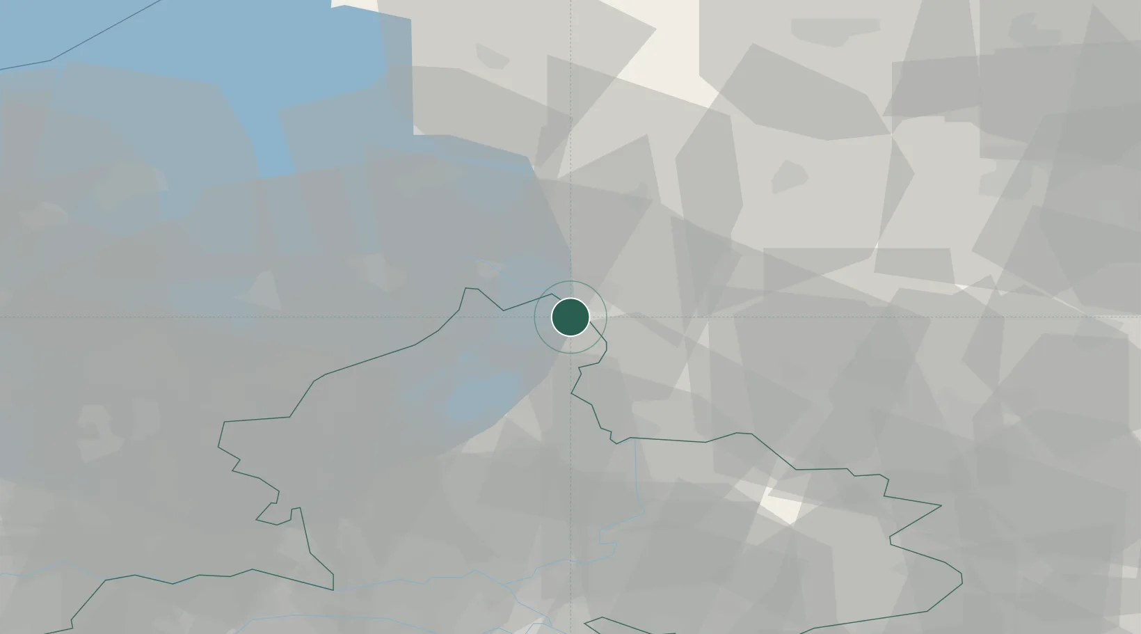
Place type
Populated place
Region
Gelderland
Population
11,876
Time zone
Europe/Amsterdam
Elevation
5 m
Location
Nearby Logistics Neighbours
Cities
- 1Katerveer4 km
- 2Heerde10 km
- 3Oude Wetering11 km
- 4IJsselmuiden15 km
- 5Mandjeswaard15 km
Ports
- 1Amsterdam80 km
- 2Zaandam84 km
- 3Harlingen91 km
- 4Ijmuiden101 km
- 5Den Helder103 km
Airports
- 1Lelystad Airport37 km
- 2Deelen Air Base47 km
- 3Twente Airport60 km
- 4Groningen Airport Eelde80 km
- 5Leeuwarden Air Base87 km
Trade Zones
DatabookThe Record of Consolidated Knowledge
Netherlands beyond logistics?