Transport Functions
Multimodal
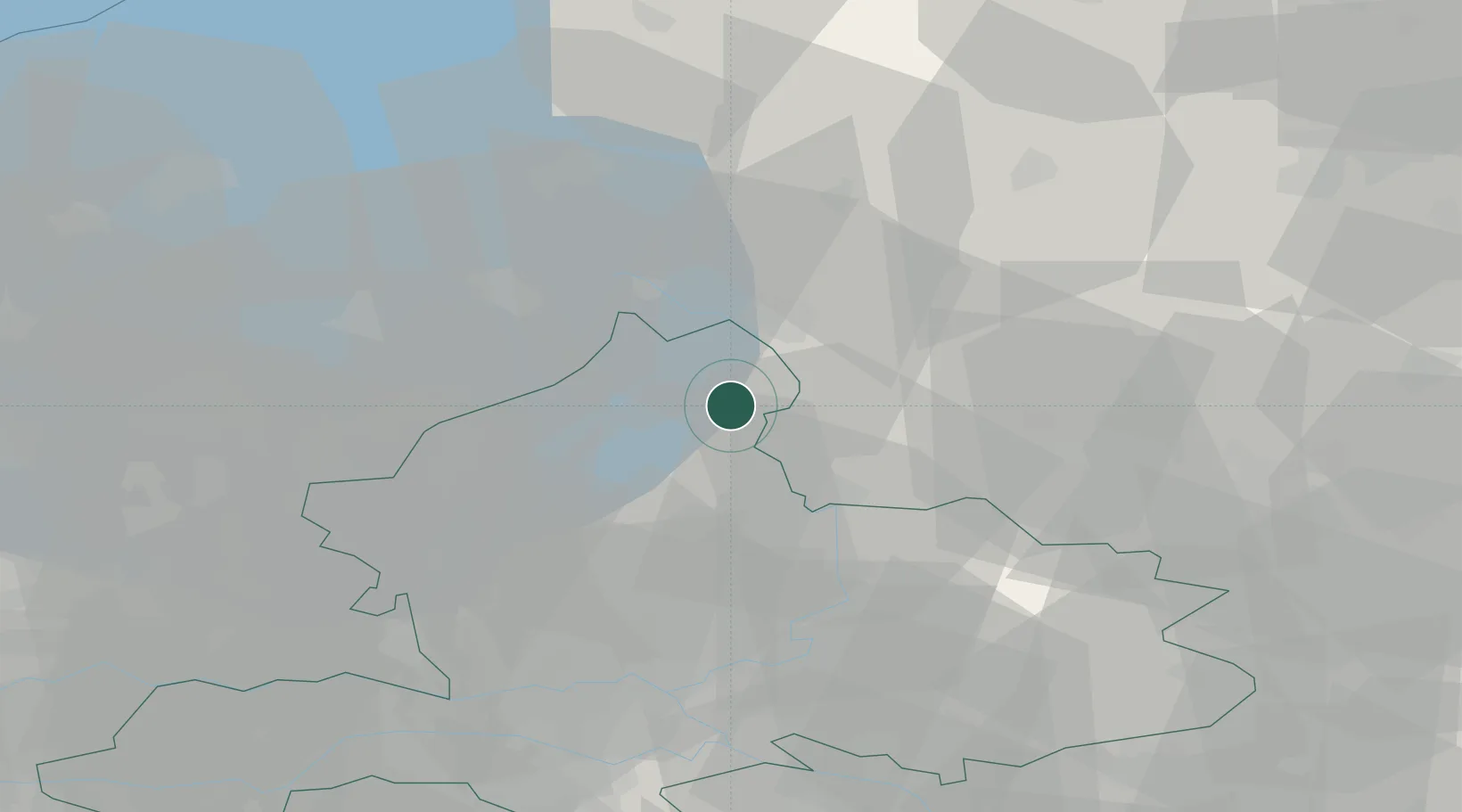
Hub Profile
Place type
Populated place
Region
Gelderland
Population
8,850
Time zone
Europe/Amsterdam
Elevation
8 m
Location
Nearby Logistics Neighbours
Cities
- 1Wijnbergen8 km
- 2Olst8 km
- 3Emst8 km
- 4Hattem10 km
- 5Katerveer13 km
Ports
- 1Amsterdam77 km
- 2Zaandam82 km
- 3Harlingen98 km
- 4Ijmuiden99 km
- 5Den Helder106 km
Airports
- 1Lelystad Airport36 km
- 2Deelen Air Base38 km
- 3Twente Airport59 km
- 4Volkel Air Base84 km
- 5Amsterdam Airport Schiphol87 km
Trade Zones
DatabookThe Record of Consolidated Knowledge
Netherlands beyond logistics?