UN/LOCODE hub · Netherlands
NLOWG

Oude Wetering

52.5667°, 6.0333°
1
Transport functions

Transport Functions

Multimodal
UN/LOCODE

Hub Profile

Place type
Locality
GeoNames
Region
Overijssel
GeoNames
Time zone
Europe/Amsterdam
GeoNames
Elevation
0 m
GeoNames

Location

Location of NLOWG
Natural Earth 10m (public domain) · Overijssel · NLOWG · 52.57, 6.03GoogleOSMYandex

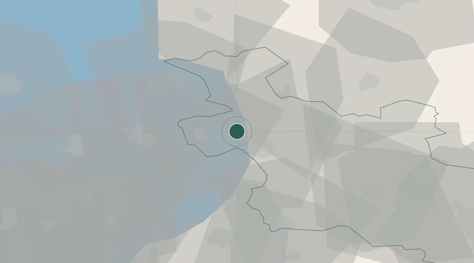
Nearby Logistics Neighbours

Cities
  1. 1Katerveer8 km
  2. 2IJsselmuiden8 km
  3. 3Mandjeswaard8 km
  4. 4Kampen11 km
  5. 5Hattem11 km
Nearest neighbours — logibook spatial index (haversine) over the source coordinates
Ports
  1. 1Amsterdam80 km
  2. 2Harlingen80 km
  3. 3Zaandam83 km
  4. 4Den Helder95 km
  5. 5Ijmuiden99 km
Nearest neighbours — logibook spatial index (haversine) over the source coordinates
Airports
  1. 1Lelystad Airport37 km
  2. 2Deelen Air Base57 km
  3. 3Twente Airport66 km
  4. 4Groningen Airport Eelde72 km
  5. 5Leeuwarden Air Base76 km
Nearest neighbours — logibook spatial index (haversine) over the source coordinates
Trade Zones
  1. 1Freeport of Emden115 km
  2. 2Freeport of Duisburg130 km
  3. 3Rheinische Revier SWZ186 km
  4. 4Freeport of Bremerhaven (Freihafen Bremerhaven)193 km
  5. 5Freeport of Cuxhaven (Freihafen Cuxhaven)219 km
Nearest neighbours — logibook spatial index (haversine) over the source coordinates
DatabookThe Record of Consolidated Knowledge
Netherlands beyond logistics?
Browse databook

All Sources

LocationsUN/LOCODE
UN/LOCODE — free
Portsthe NGA World Port Index
Public domain (US gov)
AirportsOurAirports
Public domain
Trade Zonesthe World Bank SEZ database
CC BY 4.0
Trade ZonesOpen Zone Map
CC BY
← Netherlands locations