Transport Functions
Port
Road
Hub Profile
Place type
Populated place
Region
Overijssel
Time zone
Europe/Amsterdam
Elevation
9 m
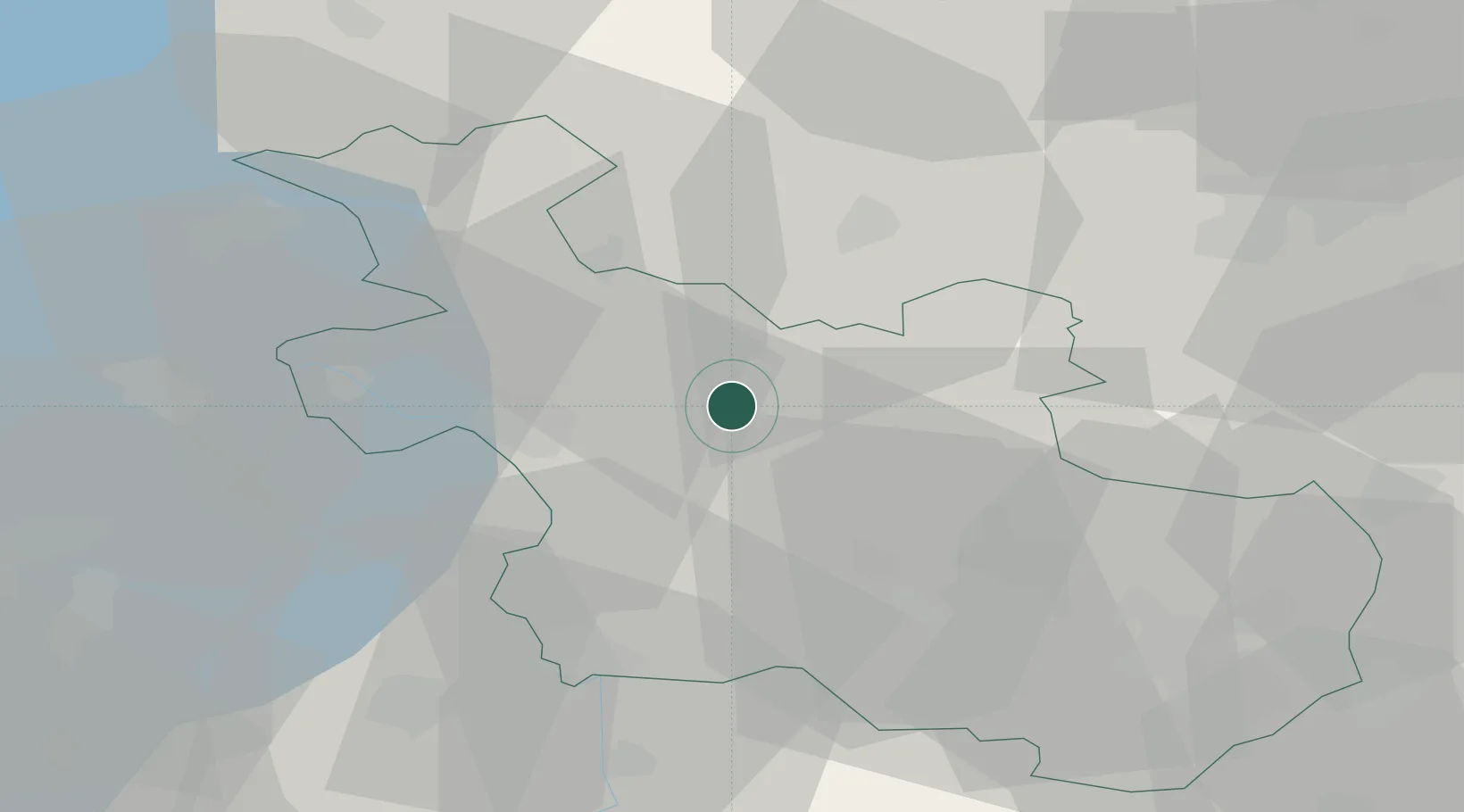
Location
Nearby Logistics Neighbours
Cities
- 1Varsen4 km
- 2Heemserveen17 km
- 3Katerveer18 km
- 4Bergentheim19 km
- 5Hattem20 km
Airports
- 1Twente Airport47 km
- 2Lelystad Airport56 km
- 3Deelen Air Base61 km
- 4Groningen Airport Eelde67 km
- 5Leeuwarden Air Base86 km
Trade Zones
DatabookThe Record of Consolidated Knowledge
Netherlands beyond logistics?