Transport Functions
Rail
Road
Hub Profile
Place type
Populated place
Region
Overijssel
Time zone
Europe/Amsterdam
Elevation
9 m
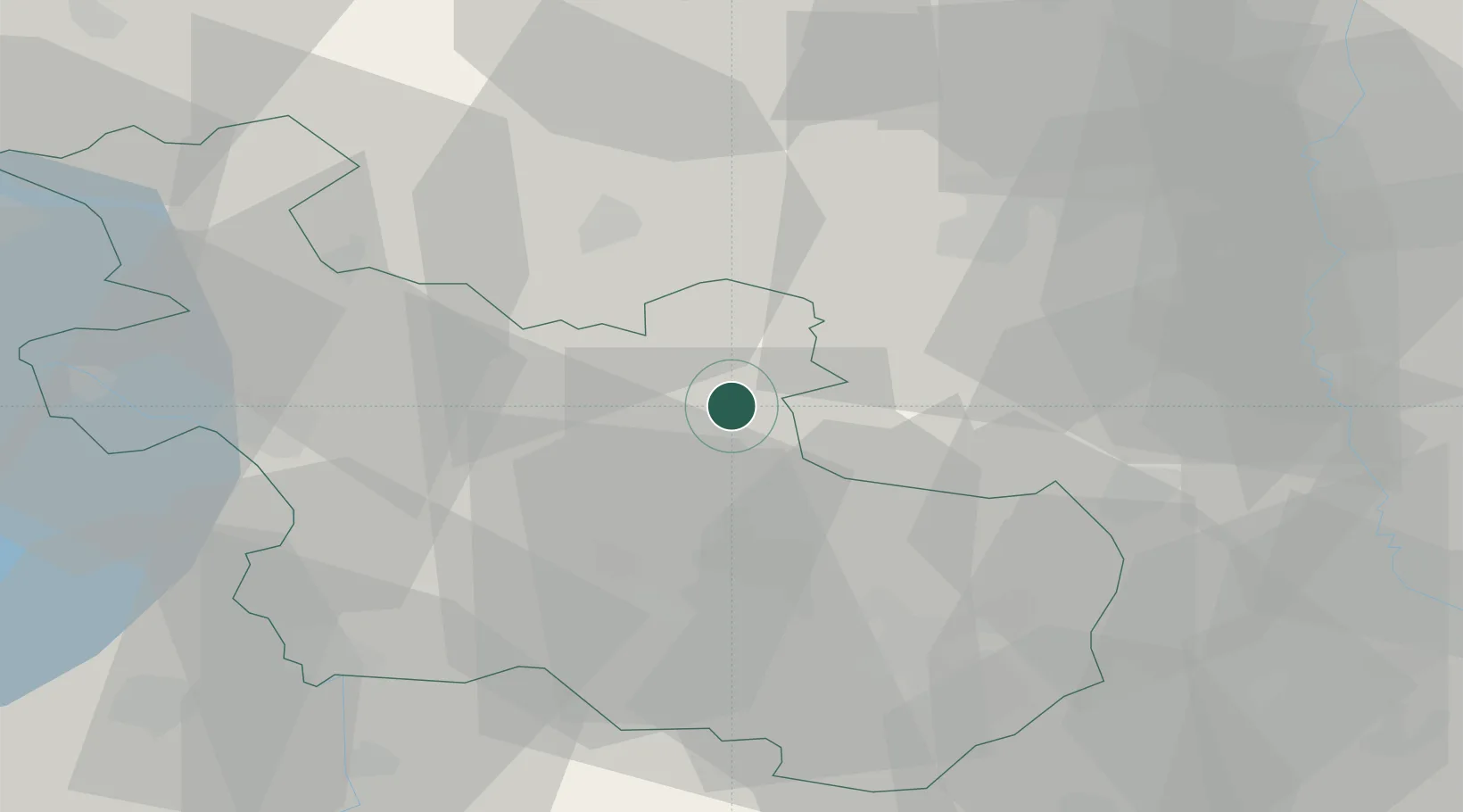
Location
Nearby Logistics Neighbours
Cities
- 1Heemserveen7 km
- 2Gramsbergen10 km
- 3Holtheme11 km
- 4Itterbeck13 km
- 5Coevorden15 km
Airports
- 1Twente Airport34 km
- 2Groningen Airport Eelde65 km
- 3Deelen Air Base73 km
- 4Lelystad Airport75 km
- 5Münster Osnabrück Airport85 km
Trade Zones
DatabookThe Record of Consolidated Knowledge
Netherlands beyond logistics?