Transport Functions
Multimodal
Hub Profile
Place type
Populated place
Region
Overijssel
Population
310
Time zone
Europe/Amsterdam
Elevation
8 m
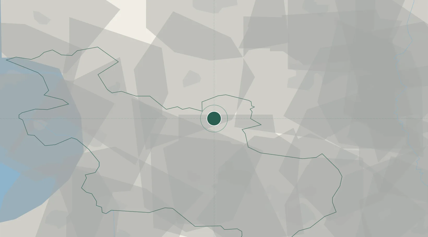
Location
Nearby Logistics Neighbours
Cities
- 1Bergentheim7 km
- 2Gramsbergen9 km
- 3Holtheme10 km
- 4Coevorden13 km
- 5Varsen14 km
Airports
- 1Twente Airport41 km
- 2Groningen Airport Eelde60 km
- 3Lelystad Airport73 km
- 4Deelen Air Base75 km
- 5Leeuwarden Air Base90 km
Trade Zones
DatabookThe Record of Consolidated Knowledge
Netherlands beyond logistics?