UN/LOCODE hub · Netherlands
NLALM
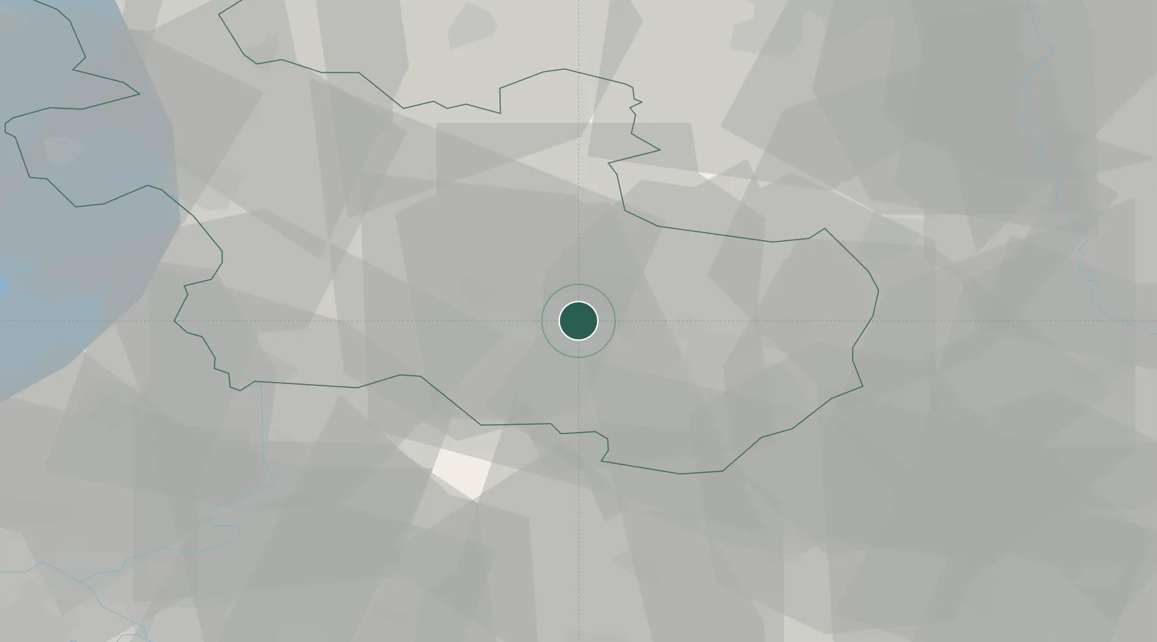
Almelo
52.3222°, 6.6306°
72,725
Population
3
Transport functions
1
Container terminals
Transport Functions
Port
Rail
Road
Hub Profile
Place type
Populated place
Region
Overijssel
Population
72,725
Time zone
Europe/Amsterdam
Elevation
15 m
Logistics facilities
1
Container terminals
1
Location
Nearby Logistics Neighbours
Airports
- 1Twente Airport18 km
- 2Deelen Air Base59 km
- 3Münster Osnabrück Airport75 km
- 4Lelystad Airport77 km
- 5Weeze (Niederrhein) Airport87 km
Trade Zones
DatabookThe Record of Consolidated Knowledge
Netherlands beyond logistics?