Transport Functions
Rail
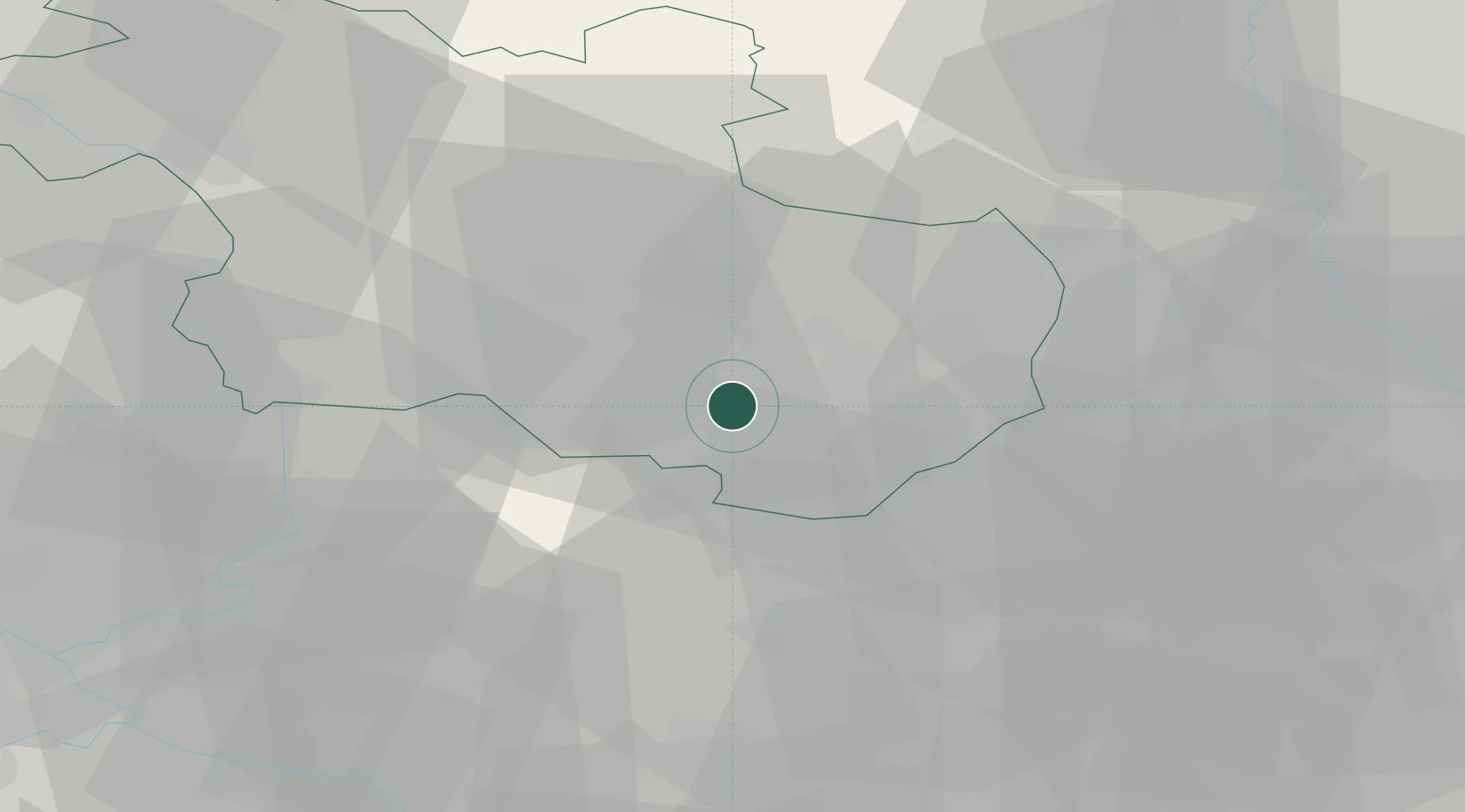
Hub Profile
Place type
Populated place
Region
Overijssel
Population
730
Time zone
Europe/Amsterdam
Elevation
18 m
Location
Nearby Logistics Neighbours
Cities
- 1Delden4 km
- 2Hengelo7 km
- 3Enter10 km
- 4Almelo11 km
- 5Hellendoorn17 km
Airports
- 1Twente Airport15 km
- 2Deelen Air Base59 km
- 3Münster Osnabrück Airport69 km
- 4Weeze (Niederrhein) Airport80 km
- 5Lelystad Airport83 km
Trade Zones
DatabookThe Record of Consolidated Knowledge
Netherlands beyond logistics?