Transport Functions
Port
Road
Hub Profile
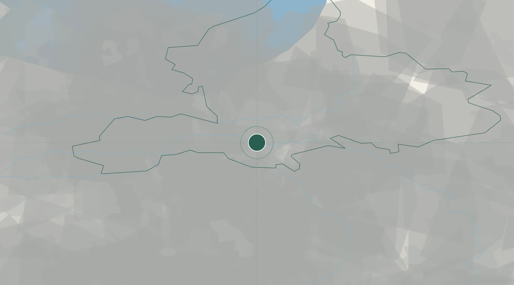
Place type
Populated place
Region
Gelderland
Population
25,557
Time zone
Europe/Amsterdam
Elevation
10 m
Location
Nearby Logistics Neighbours
Airports
- 1Deelen Air Base22 km
- 2Volkel Air Base24 km
- 3Weeze (Niederrhein) Airport38 km
- 4Eindhoven Airport54 km
- 5Gilze Rijen Air Base67 km
Trade Zones
- 1Freeport of Duisburg73 km
- 2Rheinische Revier SWZ114 km
- 3Freeport of Emden189 km
- 4ZFU Condé sur lEscaut219 km
- 5ZFU Maubeuge, Louvroil221 km
DatabookThe Record of Consolidated Knowledge
Netherlands beyond logistics?