Transport Functions
Port
Road
Hub Profile
Place type
Populated place
Region
South Holland
Time zone
Europe/Amsterdam
Elevation
-1 m
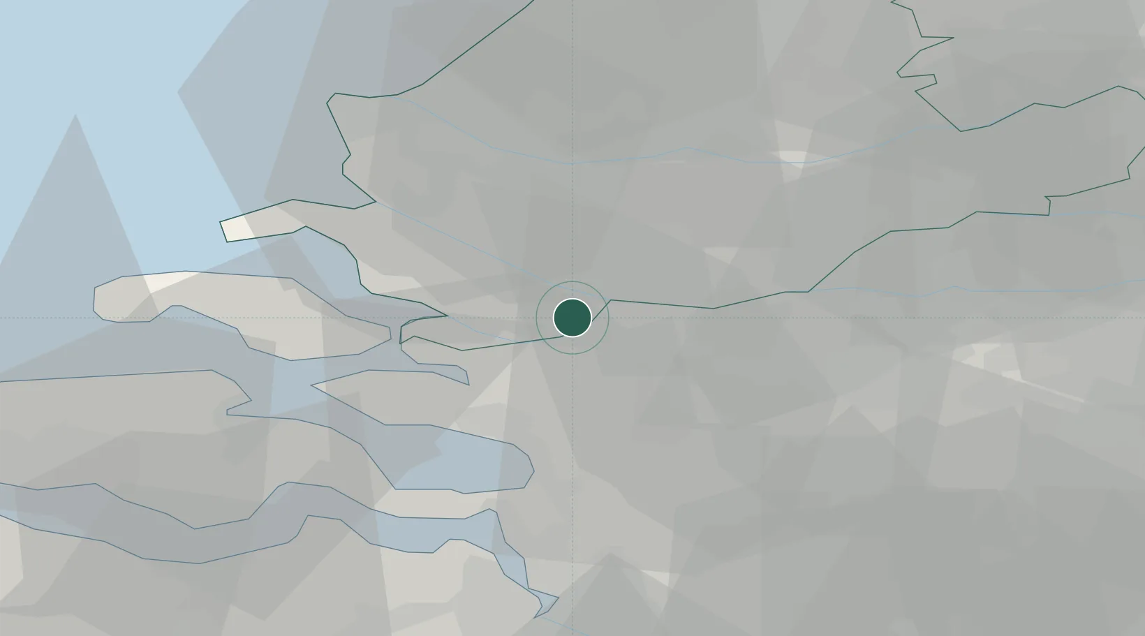
Location
Nearby Logistics Neighbours
Cities
- 1Volkerak5 km
- 2Stad aan 't Haringvliet9 km
- 3De Heen9 km
- 4Oudesluis12 km
- 5Standdaarbuiten14 km
Ports
- 1Vlaardingen24 km
- 2Schiedam24 km
- 3Dordrecht25 km
- 4Rotterdam26 km
- 5Maassluis27 km
Airports
Trade Zones
- 1ZFU Tourcoing135 km
- 2ZFU Hem et Roubaix138 km
- 3ZFU Condé sur lEscaut146 km
- 4ZFU de Lille et de Loos150 km
- 5Freeport of Duisburg157 km
DatabookThe Record of Consolidated Knowledge
Netherlands beyond logistics?