Transport Functions
Multimodal
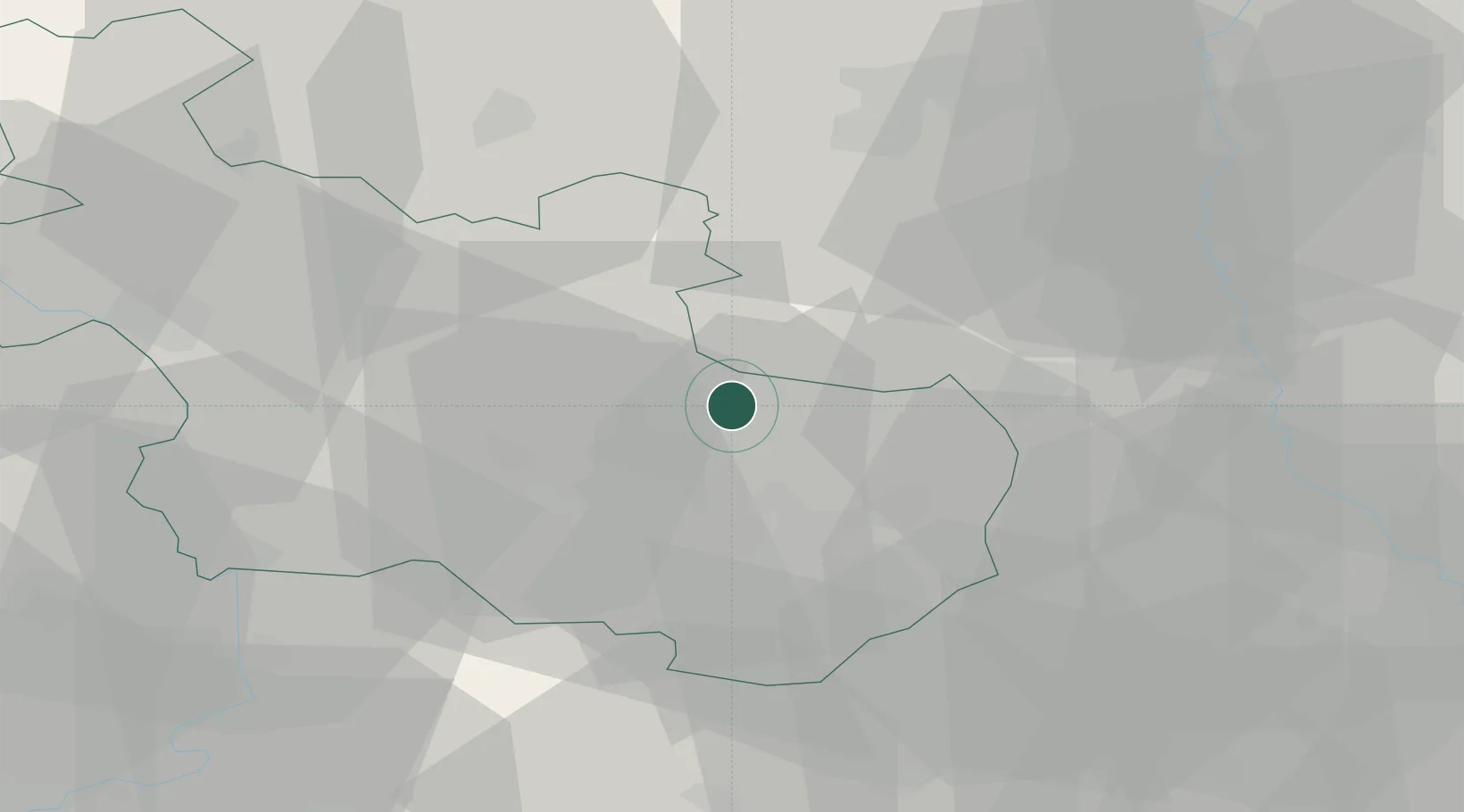
Hub Profile
Place type
Populated place
Region
Overijssel
Time zone
Europe/Amsterdam
Elevation
17 m
Location
Nearby Logistics Neighbours
Cities
- 1Itterbeck10 km
- 2Almelo13 km
- 3Ülsen13 km
- 4Wilsum13 km
- 5Bergentheim15 km
Airports
- 1Twente Airport19 km
- 2Deelen Air Base71 km
- 3Münster Osnabrück Airport72 km
- 4Groningen Airport Eelde79 km
- 5Lelystad Airport83 km
Trade Zones
DatabookThe Record of Consolidated Knowledge
Netherlands beyond logistics?