Transport Functions
Port
Road
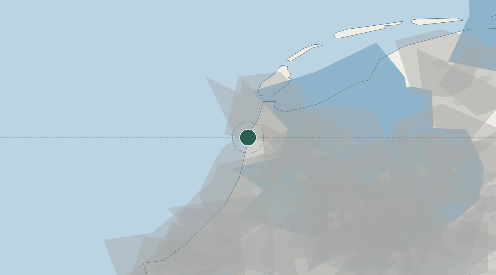
Hub Profile
Place type
Populated place
Region
North Holland
Population
250
Time zone
Europe/Amsterdam
Elevation
7 m
Location
Nearby Logistics Neighbours
Cities
- 1Schoorl2 km
- 2Burgervlotbrug2 km
- 3Zijpersluis3 km
- 4Sint Maartensvlotbrug6 km
- 5Sint Maartensbrug7 km
Ports
- 1Den Helder26 km
- 2Ijmuiden32 km
- 3Zaandam37 km
- 4Amsterdam46 km
- 5Harlingen70 km
Airports
Trade Zones
- 1Freeport of Emden182 km
- 2Freeport of Duisburg196 km
- 3Rheinische Revier SWZ237 km
- 4ZFU Tourcoing248 km
- 5ZFU Saint Pol sur Mer249 km
DatabookThe Record of Consolidated Knowledge
Netherlands beyond logistics?