UN/LOCODE hub · Netherlands
NLBVG
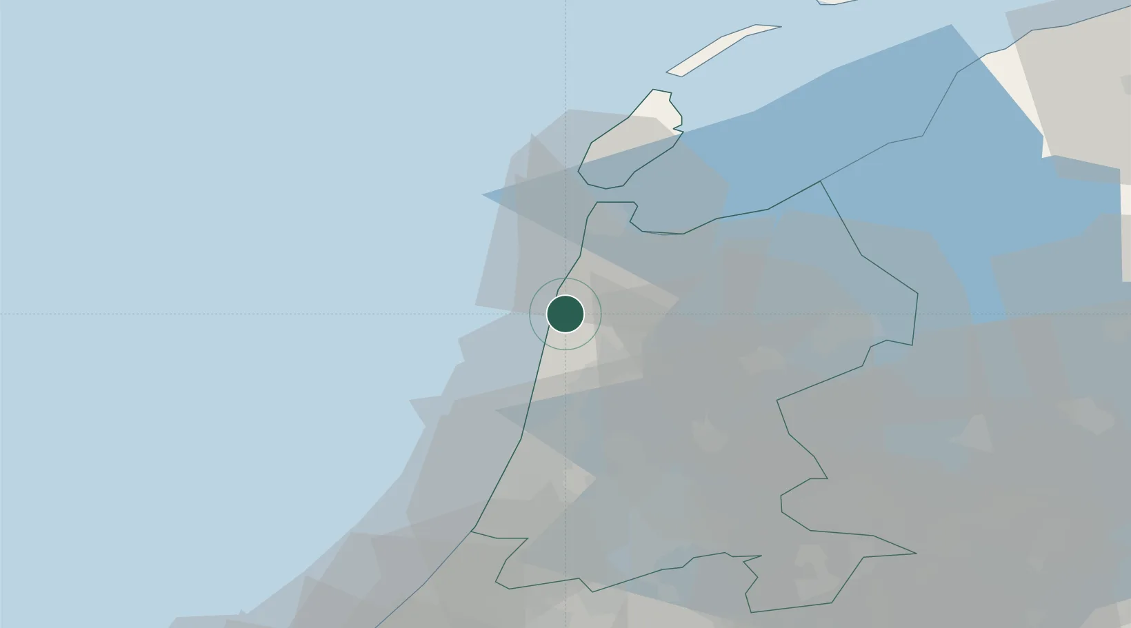
Burgervlotbrug
52.7500°, 4.6833°
205
Population
2
Transport functions
Transport Functions
Port
Road
Hub Profile
Place type
Populated place
Region
North Holland
Population
205
Time zone
Europe/Amsterdam
Elevation
1 m
Location
Nearby Logistics Neighbours
Cities
- 1Zijpersluis2 km
- 2Camperduin2 km
- 3Schoorl4 km
- 4Sint Maartensvlotbrug4 km
- 5Sint Maartensbrug5 km
Ports
- 1Den Helder25 km
- 2Ijmuiden32 km
- 3Zaandam37 km
- 4Amsterdam45 km
- 5Harlingen69 km
Airports
Trade Zones
- 1Freeport of Emden180 km
- 2Freeport of Duisburg195 km
- 3Rheinische Revier SWZ236 km
- 4ZFU Tourcoing249 km
- 5ZFU Saint Pol sur Mer250 km
DatabookThe Record of Consolidated Knowledge
Netherlands beyond logistics?