UN/LOCODE hub · Netherlands
NLSMV

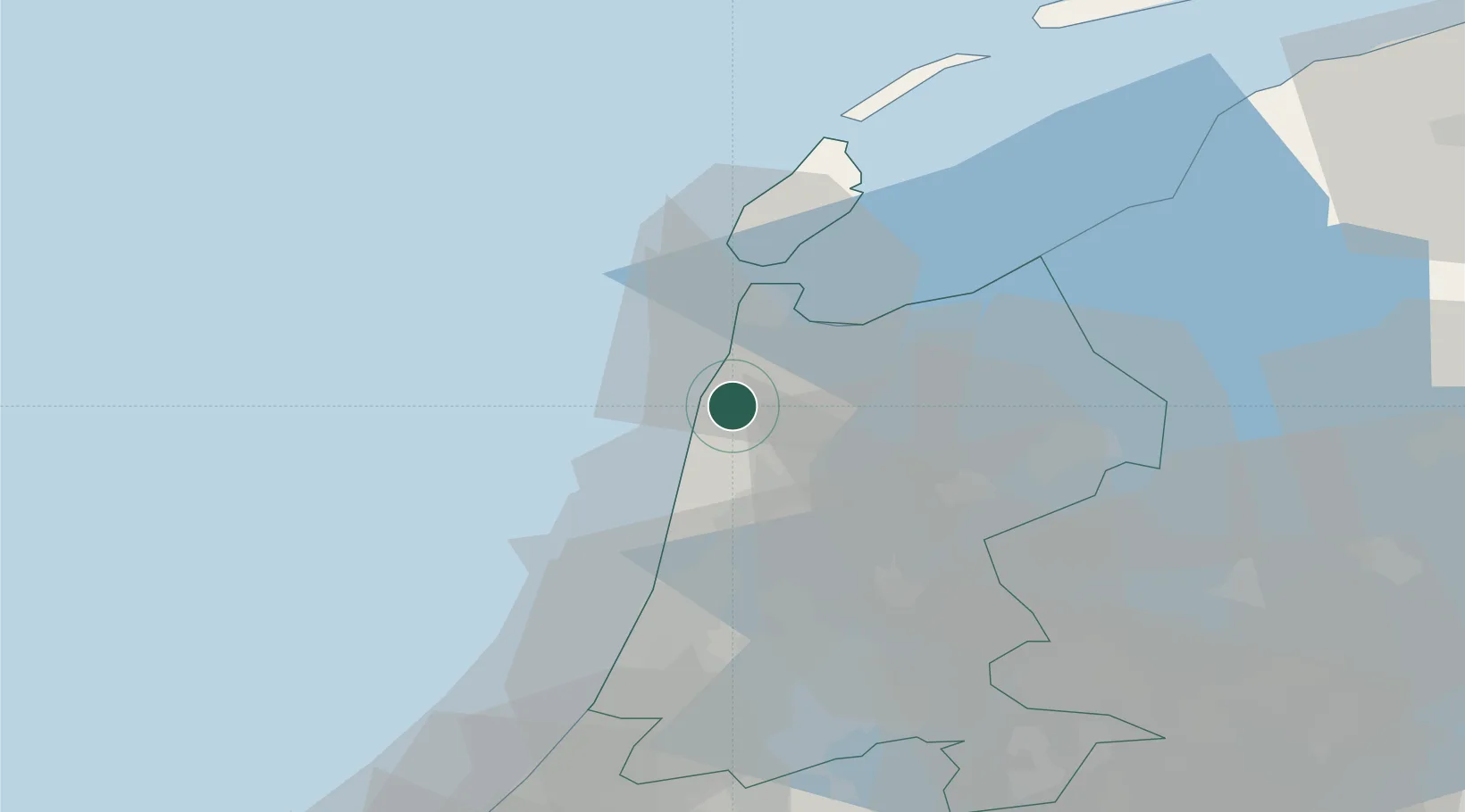
Sint Maartensvlotbrug

52.7833°, 4.7167°
715
Population
2
Transport functions

Transport Functions

Port
Road
UN/LOCODE

Hub Profile

Place type
Populated place
GeoNames
Region
North Holland
GeoNames
Population
715
GeoNames
Time zone
Europe/Amsterdam
GeoNames
Elevation
1 m
GeoNames

Location

Location of NLSMV
Natural Earth 10m (public domain) · North Holland · NLSMV · 52.78, 4.72GoogleOSMYandex

Nearby Logistics Neighbours

Cities
  1. 1Sint Maartensbrug1 km
  2. 2Stolpervlotbrug2 km
  3. 3Stolpen4 km
  4. 4Schagerbrug4 km
  5. 5Burgervlotbrug4 km
Nearest neighbours — logibook spatial index (haversine) over the source coordinates
Ports
  1. 1Den Helder21 km
  2. 2Ijmuiden36 km
  3. 3Zaandam40 km
  4. 4Amsterdam48 km
  5. 5Harlingen65 km
Nearest neighbours — logibook spatial index (haversine) over the source coordinates
Airports
  1. 1De Kooy Airfield / Den Helder Naval Air Station16 km
  2. 2Amsterdam Airport Schiphol53 km
  3. 3Lelystad Airport65 km
  4. 4Leeuwarden Air Base86 km
  5. 5Rotterdam The Hague Airport94 km
Nearest neighbours — logibook spatial index (haversine) over the source coordinates
Trade Zones
  1. 1Freeport of Emden176 km
  2. 2Freeport of Duisburg196 km
  3. 3Rheinische Revier SWZ238 km
  4. 4ZFU Tourcoing253 km
  5. 5ZFU Saint Pol sur Mer254 km
Nearest neighbours — logibook spatial index (haversine) over the source coordinates
DatabookThe Record of Consolidated Knowledge
Netherlands beyond logistics?
Browse databook

All Sources

LocationsUN/LOCODE
UN/LOCODE — free
LocationsGeoNames
CC BY 4.0
Portsthe NGA World Port Index
Public domain (US gov)
AirportsOurAirports
Public domain
Trade Zonesthe World Bank SEZ database
CC BY 4.0
Trade ZonesOpen Zone Map
CC BY
← Netherlands locations