UN/LOCODE hub · Netherlands
NLZBE
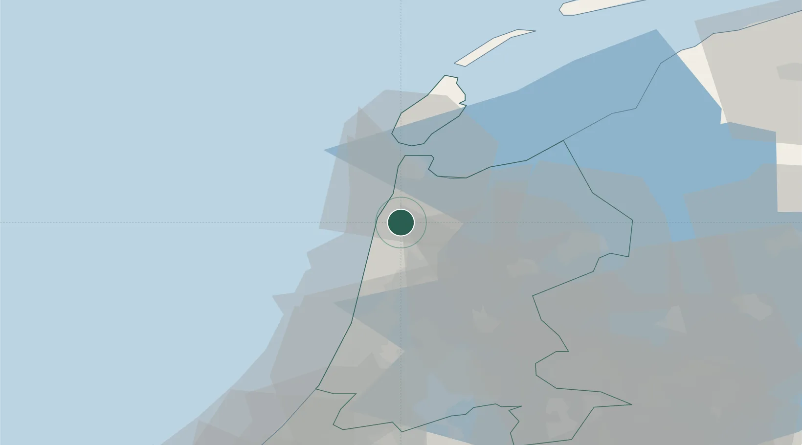
Sint Maartensbrug
52.7833°, 4.7333°
660
Population
1
Transport functions
Transport Functions
Multimodal
Hub Profile
Place type
Populated place
Region
North Holland
Population
660
Time zone
Europe/Amsterdam
Elevation
1 m
Location
Nearby Logistics Neighbours
Cities
- 1Sint Maartensvlotbrug1 km
- 2Stolpervlotbrug2 km
- 3Schagerbrug3 km
- 4Schagen3 km
- 5Stolpen4 km
Ports
- 1Den Helder21 km
- 2Ijmuiden37 km
- 3Zaandam40 km
- 4Amsterdam48 km
- 5Harlingen64 km
Airports
Trade Zones
- 1Freeport of Emden175 km
- 2Freeport of Duisburg195 km
- 3Rheinische Revier SWZ237 km
- 4ZFU Tourcoing253 km
- 5ZFU Saint Pol sur Mer255 km
DatabookThe Record of Consolidated Knowledge
Netherlands beyond logistics?