Transport Functions
Multimodal
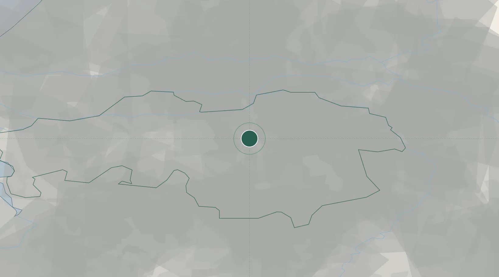
Hub Profile
Place type
Populated place
Region
North Brabant
Population
1,490
Time zone
Europe/Amsterdam
Elevation
9 m
Location
Nearby Logistics Neighbours
Cities
- 1Sint Michielsgestel2 km
- 2Berlicum6 km
- 3Heeswijk9 km
- 4Herven10 km
- 5Sint Oedenrode10 km
Ports
- 1Dordrecht53 km
- 2Rotterdam68 km
- 3Schiedam73 km
- 4Vlaardingen76 km
- 5Antwerpen80 km
Airports
- 1Eindhoven Airport19 km
- 2Volkel Air Base25 km
- 3Gilze Rijen Air Base29 km
- 4Kempen Airport Budel44 km
- 5Kleine Brogel Air Base51 km
Trade Zones
- 1Freeport of Duisburg88 km
- 2Rheinische Revier SWZ106 km
- 3ZFU Condé sur lEscaut178 km
- 4ZFU Maubeuge, Louvroil181 km
- 5ZFU Tourcoing182 km
DatabookThe Record of Consolidated Knowledge
Netherlands beyond logistics?