Transport Functions
Rail
Road
Hub Profile
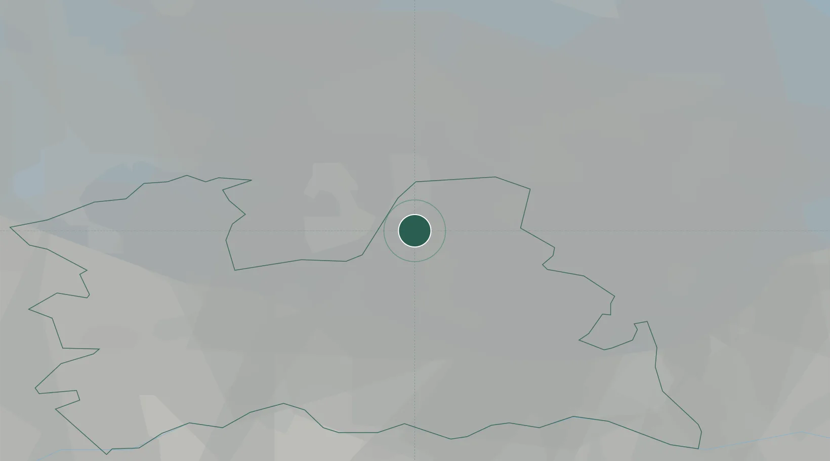
Place type
Populated place
Region
Utrecht
Population
24,584
Time zone
Europe/Amsterdam
Elevation
10 m
Location
Nearby Logistics Neighbours
Cities
- 1Bunschoten-Spakenburg7 km
- 2Amersfoort11 km
- 3Westbroek12 km
- 4Loosdrecht14 km
- 5Groenekan14 km
Airports
- 1Lelystad Airport31 km
- 2Amsterdam Airport Schiphol36 km
- 3Deelen Air Base45 km
- 4Rotterdam The Hague Airport64 km
- 5Volkel Air Base69 km
Trade Zones
- 1Freeport of Duisburg125 km
- 2Rheinische Revier SWZ165 km
- 3Freeport of Emden180 km
- 4ZFU Tourcoing221 km
- 5ZFU Hem et Roubaix224 km
DatabookThe Record of Consolidated Knowledge
Netherlands beyond logistics?