UN/LOCODE hub · Netherlands
NLRSW
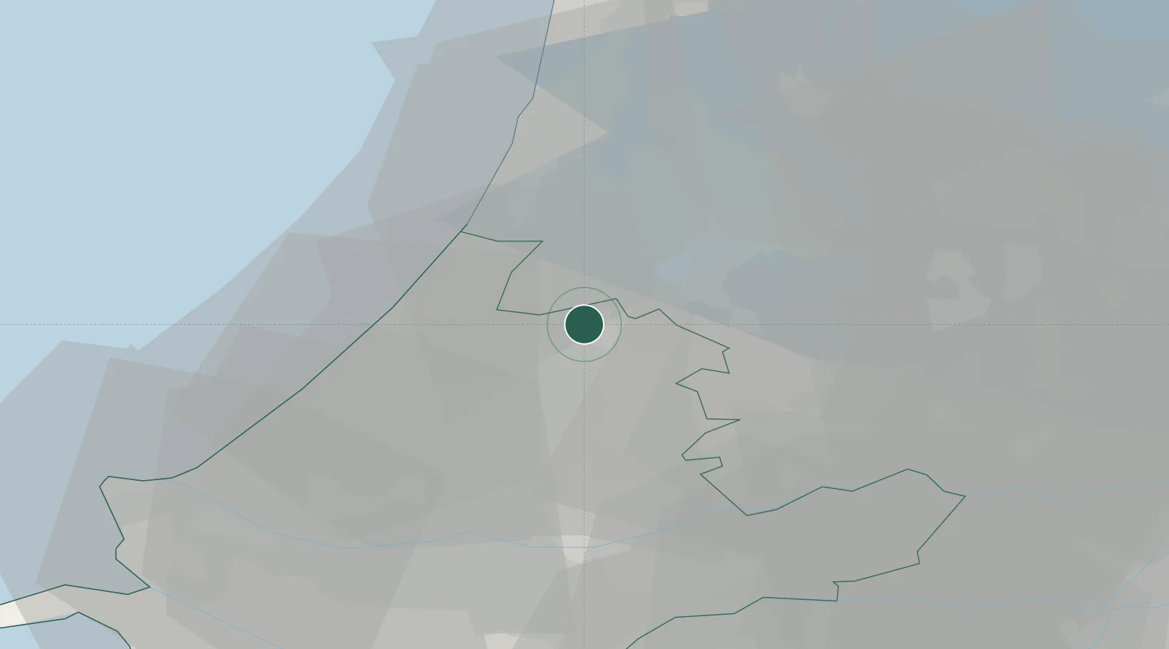
Rijnsaterwoude
52.2000°, 4.6667°
1,130
Population
1
Transport functions
Transport Functions
Port
Hub Profile
Place type
Populated place
Region
South Holland
Population
1,130
Time zone
Europe/Amsterdam
Elevation
-2 m
Location
Nearby Logistics Neighbours
Cities
- 1Leimuiderbrug4 km
- 2Bilderdam4 km
- 3Rijpwetering6 km
- 4Rijsenhout7 km
- 5Hoogmade7 km
Ports
- 1Amsterdam24 km
- 2Zaandam28 km
- 3Scheveningen30 km
- 4Ijmuiden30 km
- 5Rotterdam36 km
Airports
Trade Zones
- 1Freeport of Duisburg156 km
- 2Rheinische Revier SWZ186 km
- 3ZFU Tourcoing195 km
- 4ZFU Hem et Roubaix198 km
- 5ZFU Saint Pol sur Mer207 km
DatabookThe Record of Consolidated Knowledge
Netherlands beyond logistics?