Transport Functions
Port
Road
Hub Profile
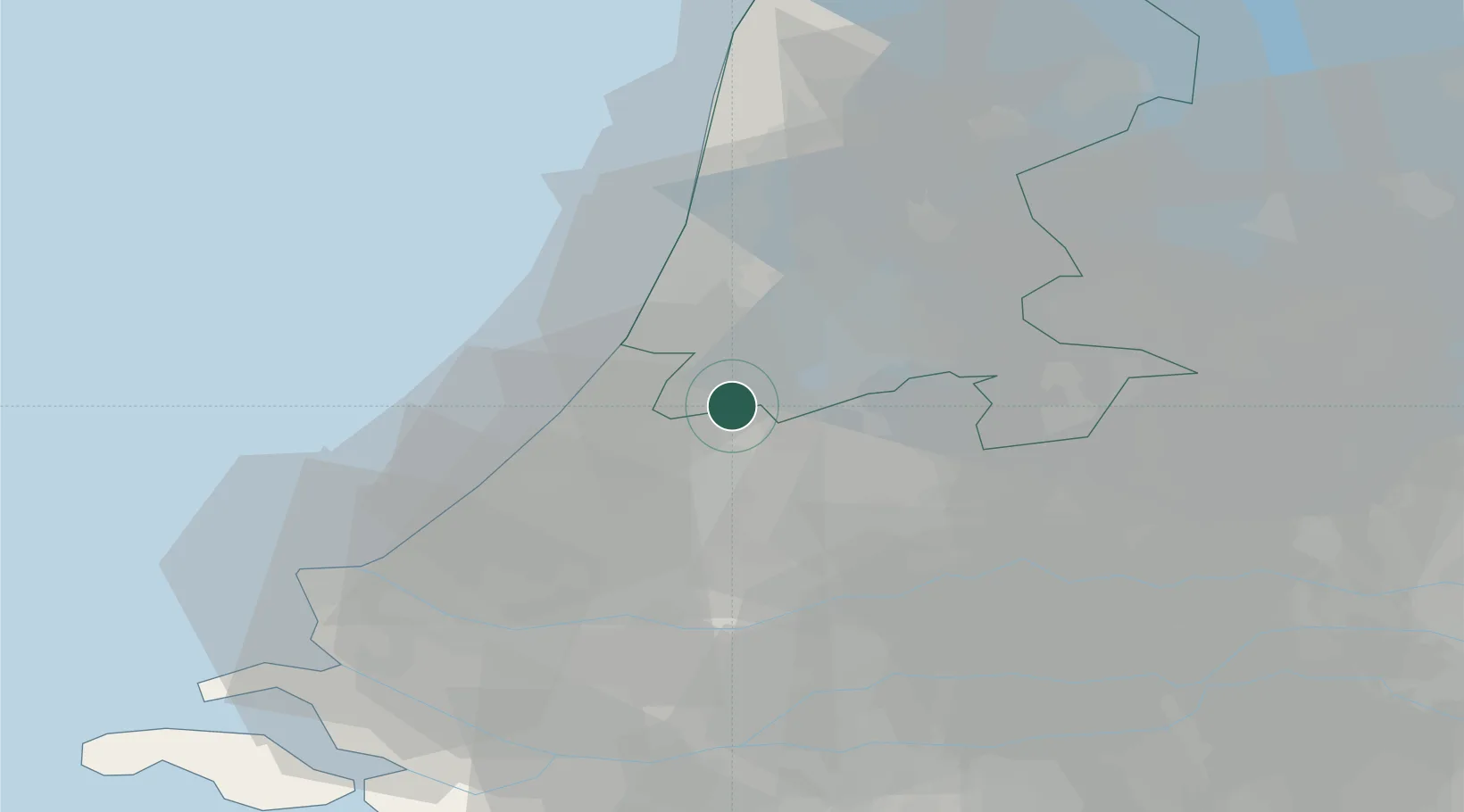
Place type
Populated place
Region
North Holland
Population
45
Time zone
Europe/Amsterdam
Elevation
0 m
Location
Nearby Logistics Neighbours
Cities
- 1Rijnsaterwoude4 km
- 2Rijsenhout4 km
- 3Bilderdam4 km
- 4Aalsmeerderbrug7 km
- 5Rijpwetering7 km
Ports
- 1Amsterdam22 km
- 2Zaandam25 km
- 3Ijmuiden27 km
- 4Scheveningen31 km
- 5Rotterdam39 km
Airports
Trade Zones
- 1Freeport of Duisburg158 km
- 2Rheinische Revier SWZ189 km
- 3ZFU Tourcoing198 km
- 4ZFU Hem et Roubaix201 km
- 5ZFU Saint Pol sur Mer209 km
DatabookThe Record of Consolidated Knowledge
Netherlands beyond logistics?