Transport Functions
Multimodal
Hub Profile
Place type
Populated place
Region
North Holland
Time zone
Europe/Amsterdam
Elevation
0 m
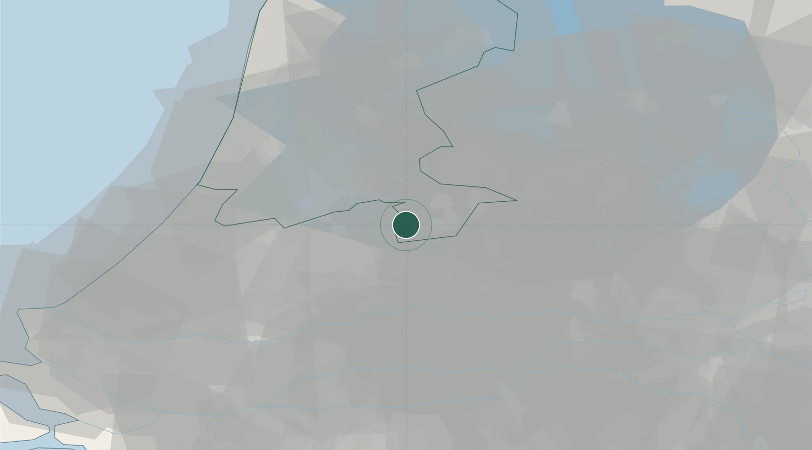
Location
Nearby Logistics Neighbours
Cities
- 1Loenersloot5 km
- 2Nederhorst den Berg6 km
- 3Baambrugge7 km
- 4Nigtevecht8 km
- 5Westbroek9 km
Airports
- 1Amsterdam Airport Schiphol23 km
- 2Lelystad Airport40 km
- 3Rotterdam The Hague Airport52 km
- 4Deelen Air Base58 km
- 5Gilze Rijen Air Base73 km
Trade Zones
- 1Freeport of Duisburg135 km
- 2Rheinische Revier SWZ171 km
- 3Freeport of Emden189 km
- 4ZFU Tourcoing212 km
- 5ZFU Hem et Roubaix215 km
DatabookThe Record of Consolidated Knowledge
Netherlands beyond logistics?