Transport Functions
Port
Road
Hub Profile
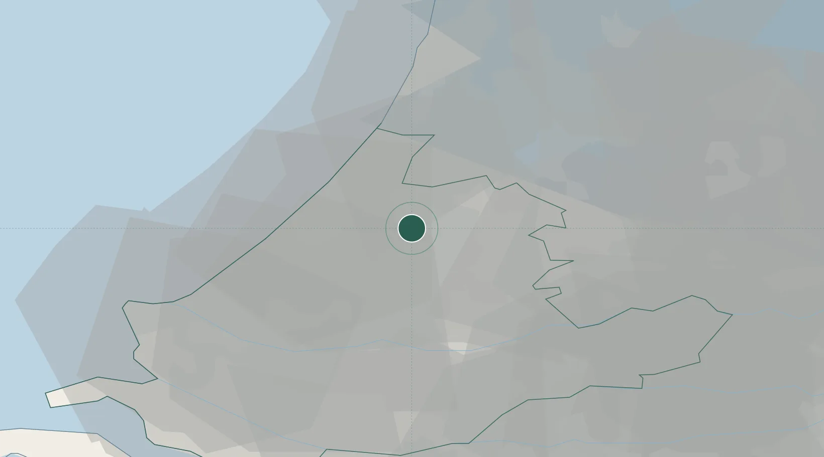
Place type
Populated place
Region
South Holland
Time zone
Europe/Amsterdam
Elevation
0 m
Location
Nearby Logistics Neighbours
Cities
- 1Hoogmade4 km
- 2Zoeterwoude5 km
- 3Oud Ade6 km
- 4Rijpwetering8 km
- 5Alphen aan den Rijn8 km
Ports
- 1Scheveningen21 km
- 2Rotterdam27 km
- 3Schiedam28 km
- 4Vlaardingen30 km
- 5Maassluis32 km
Airports
- 1Rotterdam The Hague Airport22 km
- 2Amsterdam Airport Schiphol24 km
- 3Gilze Rijen Air Base68 km
- 4Lelystad Airport74 km
- 5Woensdrecht Air Base78 km
Trade Zones
- 1Freeport of Duisburg159 km
- 2ZFU Tourcoing185 km
- 3Rheinische Revier SWZ185 km
- 4ZFU Hem et Roubaix188 km
- 5ZFU Saint Pol sur Mer197 km
DatabookThe Record of Consolidated Knowledge
Netherlands beyond logistics?