Transport Functions
Port
Hub Profile
Place type
Populated place
Region
Osun State
Time zone
Africa/Lagos
Elevation
193 m
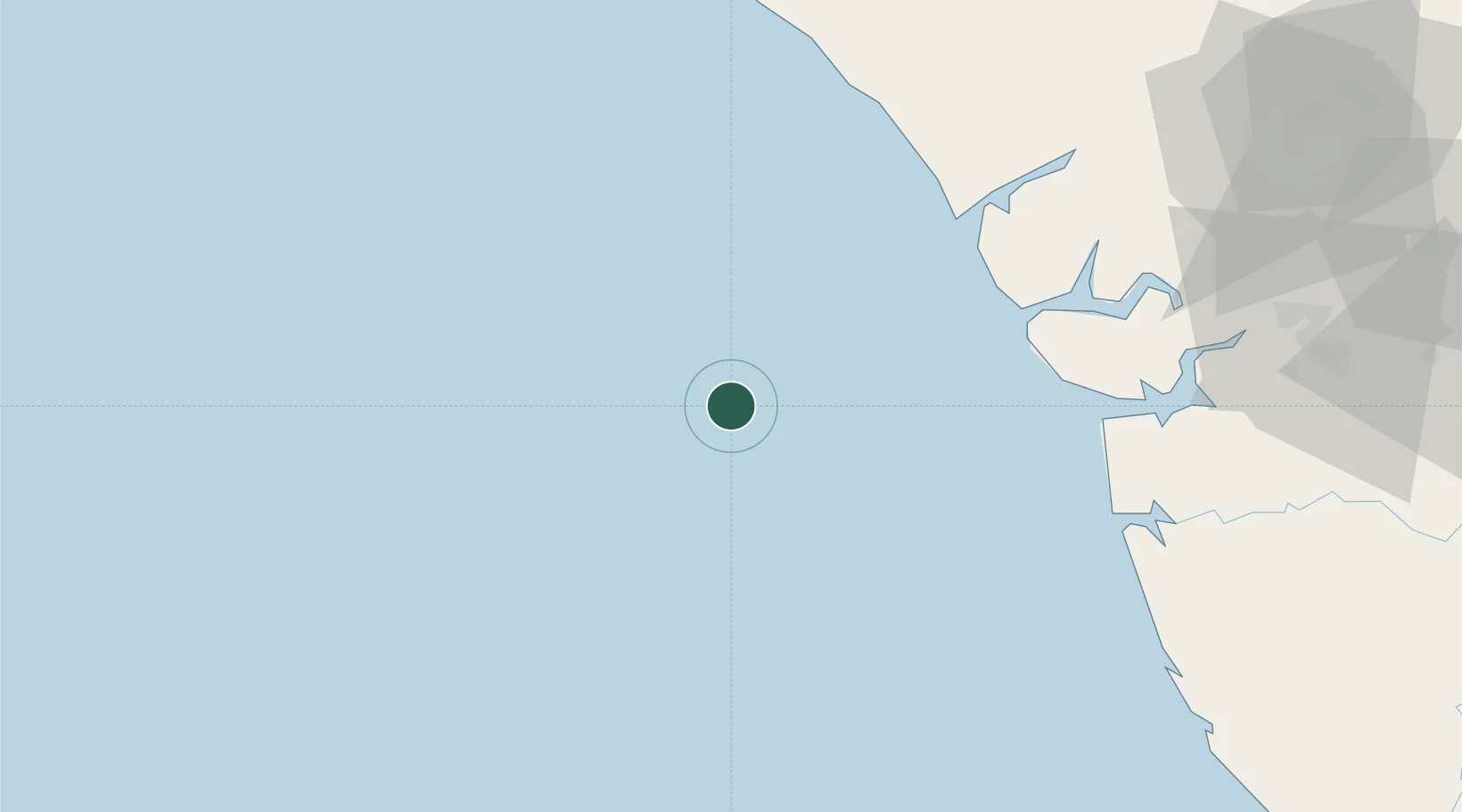
Location
Nearby Logistics Neighbours
Cities
- 1Erha Terminal26 km
- 2Bonga97 km
- 3Ea Terminal102 km
- 4Ibeju - Lekki133 km
- 5Amukpe136 km
Ports
- 1Ukpokiti Marine Terminal48 km
- 2Escravos Oil Terminal48 km
- 3Forcados71 km
- 4Burutu102 km
- 5Koko119 km
Airports
- 1Warri Airport139 km
- 2Benin Airport153 km
- 3Bayelsa International Airport186 km
- 4Murtala Muhammed International Airport193 km
- 5Akure Airport222 km
Trade Zones
- 1Ogidigben Gas Revolution Industrial Park (GRIP)72 km
- 2Olokola Free Trade Zone117 km
- 3Koko Free Trade Zone122 km
- 4Lagos Free Trade Zone127 km
- 5Warri Oil & Gas Free Zone127 km
DatabookThe Record of Consolidated Knowledge
Nigeria beyond logistics?