Medium airport · Nigeria
Benin AirportDNBE
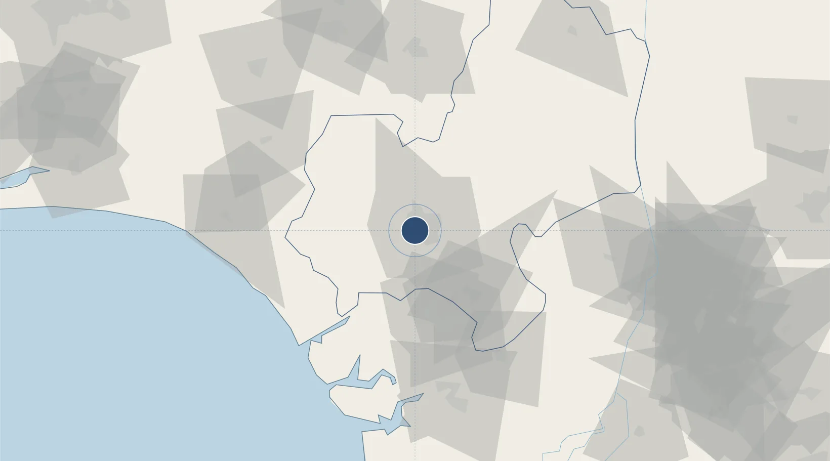
6.3170°, 5.5995°
7,870 ft
Longest runway
1
Runways
258 ft
Elevation
Runway & Layout

Radio Frequencies
TWR
122.5 MHz
Navaids
BC NDB Benin 388 kHz
BE NDB Benin 272 kHz
BEN VOR-DME Benin 116.50 MHz
Runways · 1
| Runway | Dimensions | Surface | True heading | Lit |
|---|---|---|---|---|
| 05/23 | 7,870 × 148ft | Asphalt | 046° | ✓ |
Airport Specifications
IATA code
BNI
ICAO code
DNBE
Airport class
Medium airport
Scheduled service
Yes
Runway surface
Asphalt
Served city
Benin
Location
Nearby Logistics Neighbours
Airports
- 1Warri Airport84 km
- 2Akure Airport109 km
- 3Asaba International Airport119 km
- 4Chinua Achebe International Airport141 km
- 5Bayelsa International Airport165 km
Cities
- 1Amukpe52 km
- 2Olorunsogo81 km
- 3Auchi111 km
- 4Ondo121 km
- 5Asaba128 km
Ports
- 1Koko38 km
- 2Sapele47 km
- 3Warri90 km
- 4Ukpokiti Marine Terminal107 km
- 5Burutu108 km
DatabookThe Record of Consolidated Knowledge
Nigeria beyond logistics?