Transport Functions
Multimodal
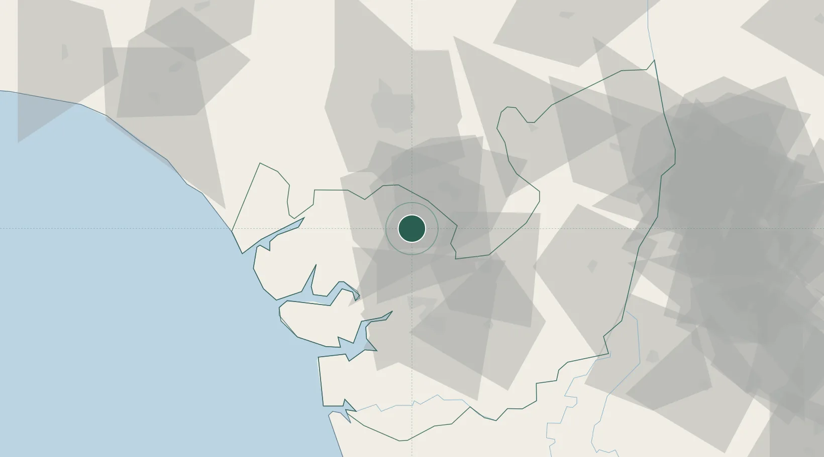
Hub Profile
Place type
Populated place
Region
Delta
Time zone
Africa/Lagos
Elevation
10 m
Location
Nearby Logistics Neighbours
Cities
- 1Asaba120 km
- 2Umuoja Obosi124 km
- 3Olorunsogo125 km
- 4Ea Terminal130 km
- 5Oyo136 km
Ports
- 1Sapele5 km
- 2Koko31 km
- 3Warri39 km
- 4Burutu62 km
- 5Escravos Oil Terminal89 km
Airports
- 1Warri Airport32 km
- 2Benin Airport52 km
- 3Asaba International Airport111 km
- 4Bayelsa International Airport115 km
- 5Chinua Achebe International Airport135 km
Trade Zones
DatabookThe Record of Consolidated Knowledge
Nigeria beyond logistics?