Channel & Berth Profile
Pilotage, Tugs & Services
Pilotage compulsoryYES
Pilotage availableYES
Pilotage advisableYES
Tug assistanceNO
Salvage tugsNO
Shore powerNO
Potable waterNO
Diesel bunkersYES
MedicalYES
Garbage disposalNO
Facilities & Capabilities
Container—
Ro-Ro—
Liquid bulk—
Dry bulk—
Oil terminal—
Break bulk—
Dry dock—
Repairs—
BunkeringYES
Rail link—
Dangerous cargo—
ISPS security—
Harbour Specifications
Harbour size
Very Small
Harbour type
River (Natural)
Shelter
Fair
Water body
Bight of Benin; Gulf of Guinea; North Atlantic Ocean
Tidal range
3 m
Pilotage
Yes
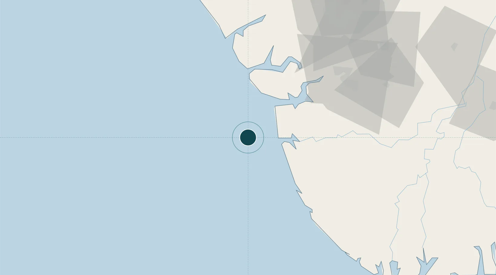
Location
Nearby Logistics Neighbours
Ports
- 1Burutu41 km
- 2Escravos Oil Terminal42 km
- 3Warri72 km
- 4Ukpokiti Marine Terminal74 km
- 5Koko98 km
Cities
- 1Ea Terminal44 km
- 2Oyo71 km
- 3Bonga90 km
- 4Erha Terminal95 km
- 5Olodi96 km
Airports
- 1Warri Airport85 km
- 2Bayelsa International Airport115 km
- 3Benin Airport136 km
- 4Port Harcourt International Airport196 km
- 5Asaba International Airport201 km
Trade Zones
DatabookThe Record of Consolidated Knowledge
Nigeria beyond logistics?