Transport Functions
Port
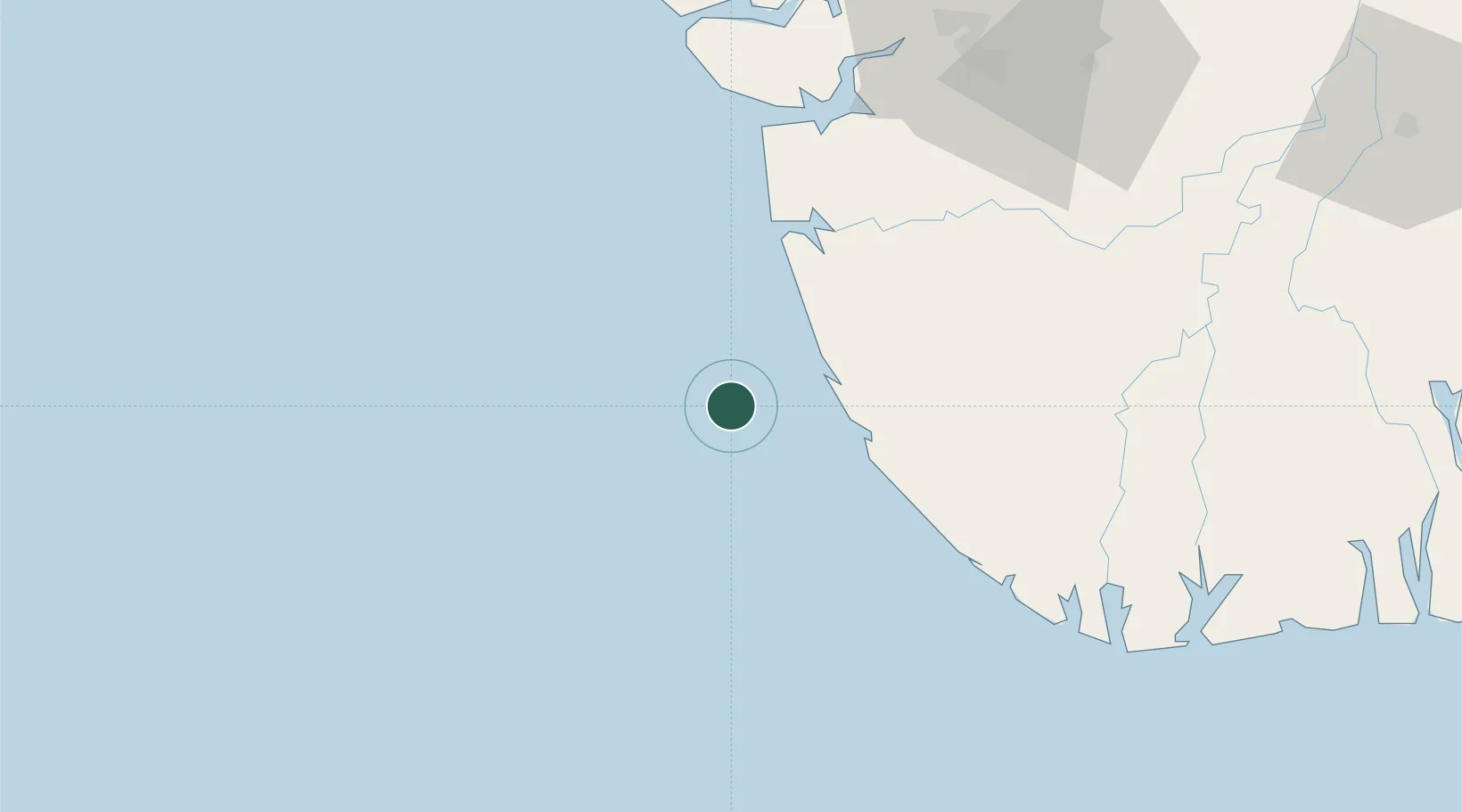
Location
Nearby Logistics Neighbours
Cities
- 1Olodi61 km
- 2Bonga71 km
- 3Oyo102 km
- 4Kirikakiri118 km
- 5Erha Terminal121 km
Ports
- 1Forcados44 km
- 2Burutu67 km
- 3Pennington Oil Terminal70 km
- 4Escravos Oil Terminal86 km
- 5Warri96 km
Airports
Trade Zones
DatabookThe Record of Consolidated Knowledge
Nigeria beyond logistics?