Specialized Zone · Nigeria

Ogidigben Gas Revolution Industrial Park (GRIP) Inactive
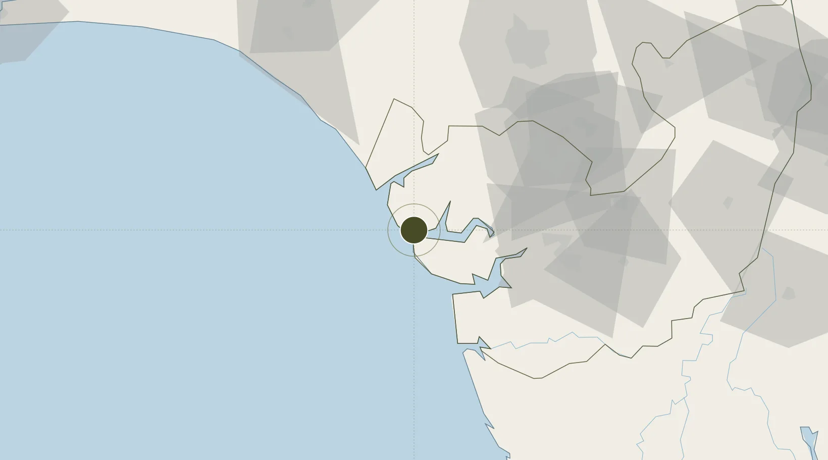
5.6097°, 5.1940°
2,700 ha
Zone area
24.7 km
Nearest port
69.1 km
Nearest airport

Gateway access

Nearest neighbours — logibook spatial index (haversine) over the source coordinates

Zone profile

Zone type
Specialized Zone
Open Zone Map
Specialization
Energy
Open Zone Map
Region
Delta
Open Zone Map
Status
Inactive
Open Zone Map
Management
Public-Private Partnership
Open Zone Map
Operator
Alpha GRIP Management Co. FZE
Open Zone Map
Legal framework
Section 2 of the Oil and Gas Export Free Zone Act No. 8 of 1996
Open Zone Map

Location

Location of ozm-2987
Natural Earth 10m (public domain) · Delta · ozm-2987 · 5.61, 5.19GoogleOSMYandex

Nearby Logistics Neighbours

Ports
  1. 1Escravos Oil Terminal25 km
  2. 2Ukpokiti Marine Terminal42 km
  3. 3Burutu45 km
  4. 4Forcados49 km
  5. 5Koko53 km
Nearest neighbours — logibook spatial index (haversine) over the source coordinates
Airports
  1. 1Warri Airport69 km
  2. 2Benin Airport91 km
  3. 3Bayelsa International Airport133 km
  4. 4Asaba International Airport176 km
  5. 5Akure Airport182 km
Nearest neighbours — logibook spatial index (haversine) over the source coordinates
Cities
  1. 1Amukpe65 km
  2. 2Oyo72 km
  3. 3Ea Terminal92 km
  4. 4Erha Terminal98 km
  5. 5Olorunsogo127 km
Nearest neighbours — logibook spatial index (haversine) over the source coordinates
Trade Zones
  1. 1Koko Free Trade Zone54 km
  2. 2Warri Oil & Gas Free Zone58 km
  3. 3Olokola Free Trade Zone130 km
  4. 4Ore Industrial Park (Ondo Industrial City)134 km
  5. 5Kajola Specialized Railway Industrial Free Zone141 km
Nearest neighbours — logibook spatial index (haversine) over the source coordinates
DatabookThe Record of Consolidated Knowledge
Nigeria beyond logistics?
Browse databook

All Sources

Trade ZonesOpen Zone Map
CC BY
Portsthe NGA World Port Index
Public domain (US gov)
AirportsOurAirports
Public domain
LocationsUN/LOCODE
UN/LOCODE — free
← Nigeria trade zones