Transport Functions
Multimodal
Hub Profile
Place type
Populated place
Region
Plateau State
Time zone
Africa/Lagos
Elevation
1,104 m
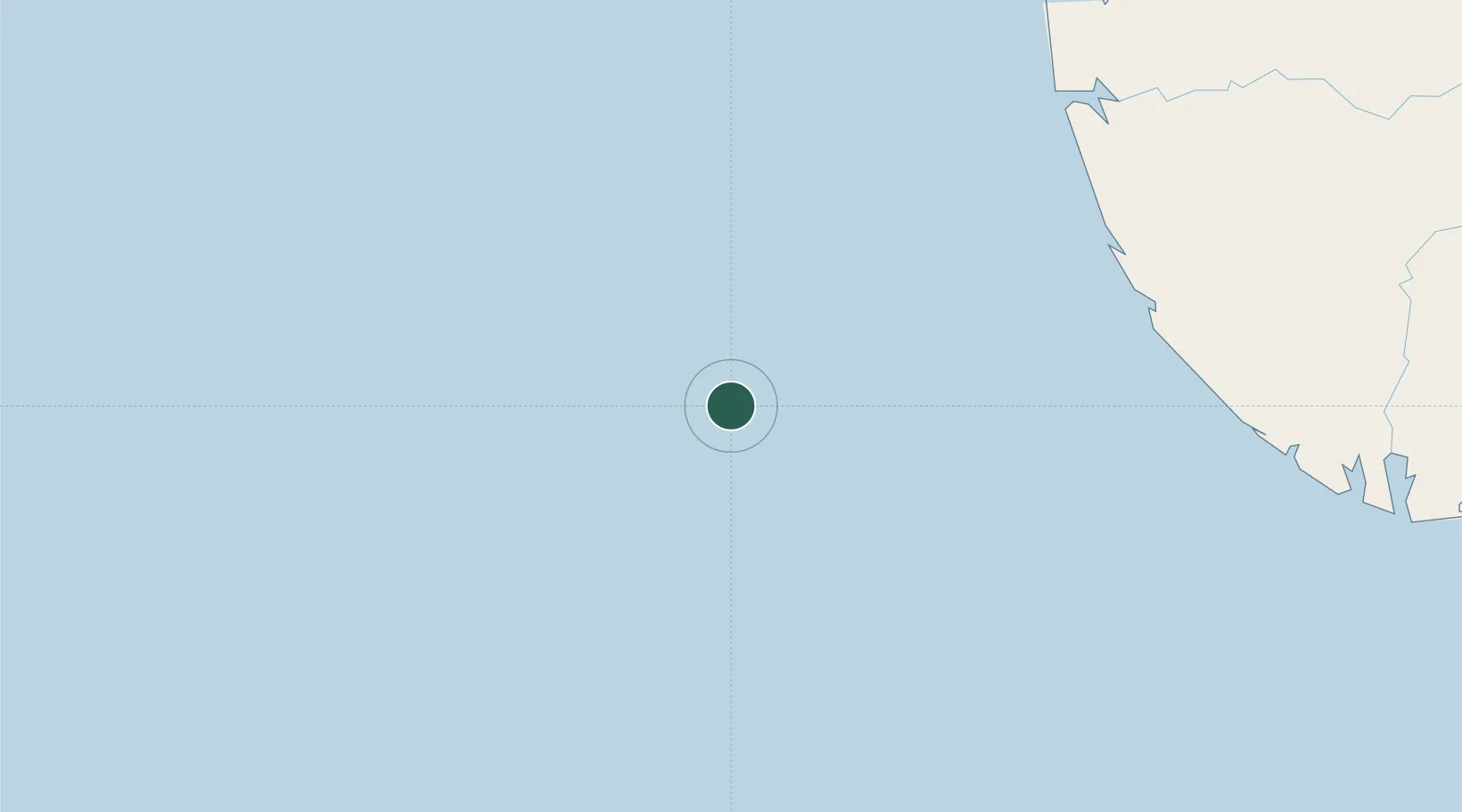
Location
Nearby Logistics Neighbours
Cities
- 1Ea Terminal71 km
- 2Oyo97 km
- 3Erha Terminal100 km
- 4Olodi120 km
- 5Agbami143 km
Ports
- 1Forcados90 km
- 2Pennington Oil Terminal106 km
- 3Escravos Oil Terminal114 km
- 4Burutu128 km
- 5Ukpokiti Marine Terminal136 km
Airports
Trade Zones
- 1Ogidigben Gas Revolution Industrial Park (GRIP)133 km
- 2Warri Oil & Gas Free Zone162 km
- 3Brass Oil & Gas City173 km
- 4Koko Free Trade Zone186 km
- 5Olokola Free Trade Zone214 km
DatabookThe Record of Consolidated Knowledge
Nigeria beyond logistics?