Specialized Zone · Nigeria

Warri Oil & Gas Free Zone Active
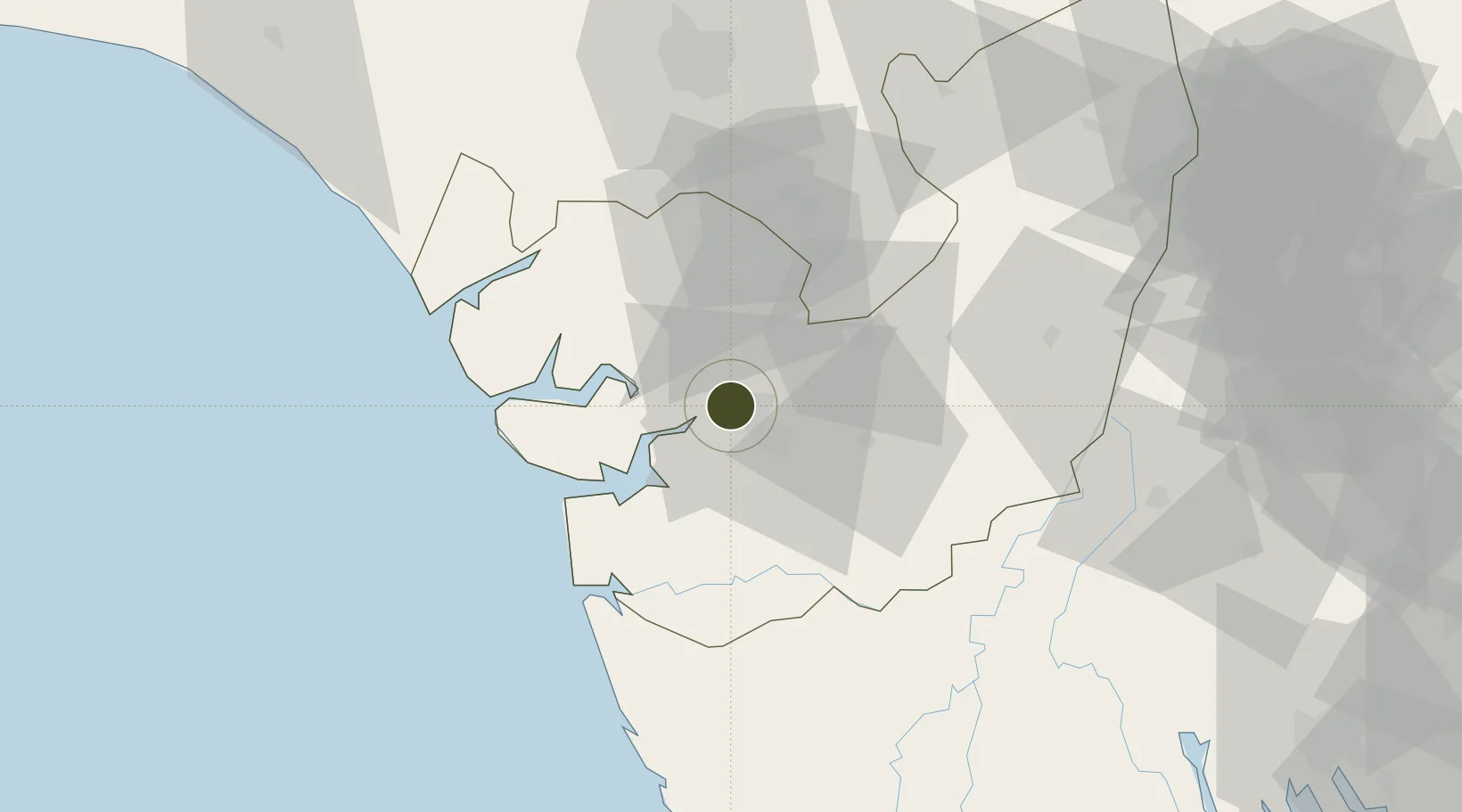
5.5634°, 5.7167°
220 ha
Zone area
5.5 km
Nearest port
11.9 km
Nearest airport

Gateway access

Nearest neighbours — logibook spatial index (haversine) over the source coordinates

Zone profile

Zone type
Specialized Zone
Open Zone Map
Specialization
Energy
Open Zone Map
Region
Delta
Open Zone Map
Status
Active
Open Zone Map
Management
Public-Private Partnership
Open Zone Map
Operator
Oil & Gas Free Zone Authority, Port Free Zone Services Ltd.
Open Zone Map
Legal framework
Section 2 of the Oil and Gas Export Free Zone Act No. 8 of 1996
Open Zone Map

Location

Location of ozm-2984
Natural Earth 10m (public domain) · Delta · ozm-2984 · 5.56, 5.72GoogleOSMYandex

Nearby Logistics Neighbours

Ports
  1. 1Warri6 km
  2. 2Burutu34 km
  3. 3Sapele38 km
  4. 4Koko56 km
  5. 5Forcados74 km
Nearest neighbours — logibook spatial index (haversine) over the source coordinates
Airports
  1. 1Warri Airport12 km
  2. 2Benin Airport85 km
  3. 3Bayelsa International Airport86 km
  4. 4Asaba International Airport127 km
  5. 5Port Harcourt International Airport150 km
Nearest neighbours — logibook spatial index (haversine) over the source coordinates
Cities
  1. 1Amukpe34 km
  2. 2Ea Terminal99 km
  3. 3Olodi113 km
  4. 4Oyo127 km
  5. 5Asaba134 km
Nearest neighbours — logibook spatial index (haversine) over the source coordinates
Trade Zones
  1. 1Koko Free Trade Zone53 km
  2. 2Ogidigben Gas Revolution Industrial Park (GRIP)58 km
  3. 3Imo Guangdong Free Trade Zone143 km
  4. 4Brass Oil & Gas City152 km
  5. 5Ore Industrial Park (Ondo Industrial City)169 km
Nearest neighbours — logibook spatial index (haversine) over the source coordinates
DatabookThe Record of Consolidated Knowledge
Nigeria beyond logistics?
Browse databook

All Sources

Trade ZonesOpen Zone Map
CC BY
Portsthe NGA World Port Index
Public domain (US gov)
AirportsOurAirports
Public domain
LocationsUN/LOCODE
UN/LOCODE — free
← Nigeria trade zones