Medium airport · Nigeria
Akure AirportDNAK
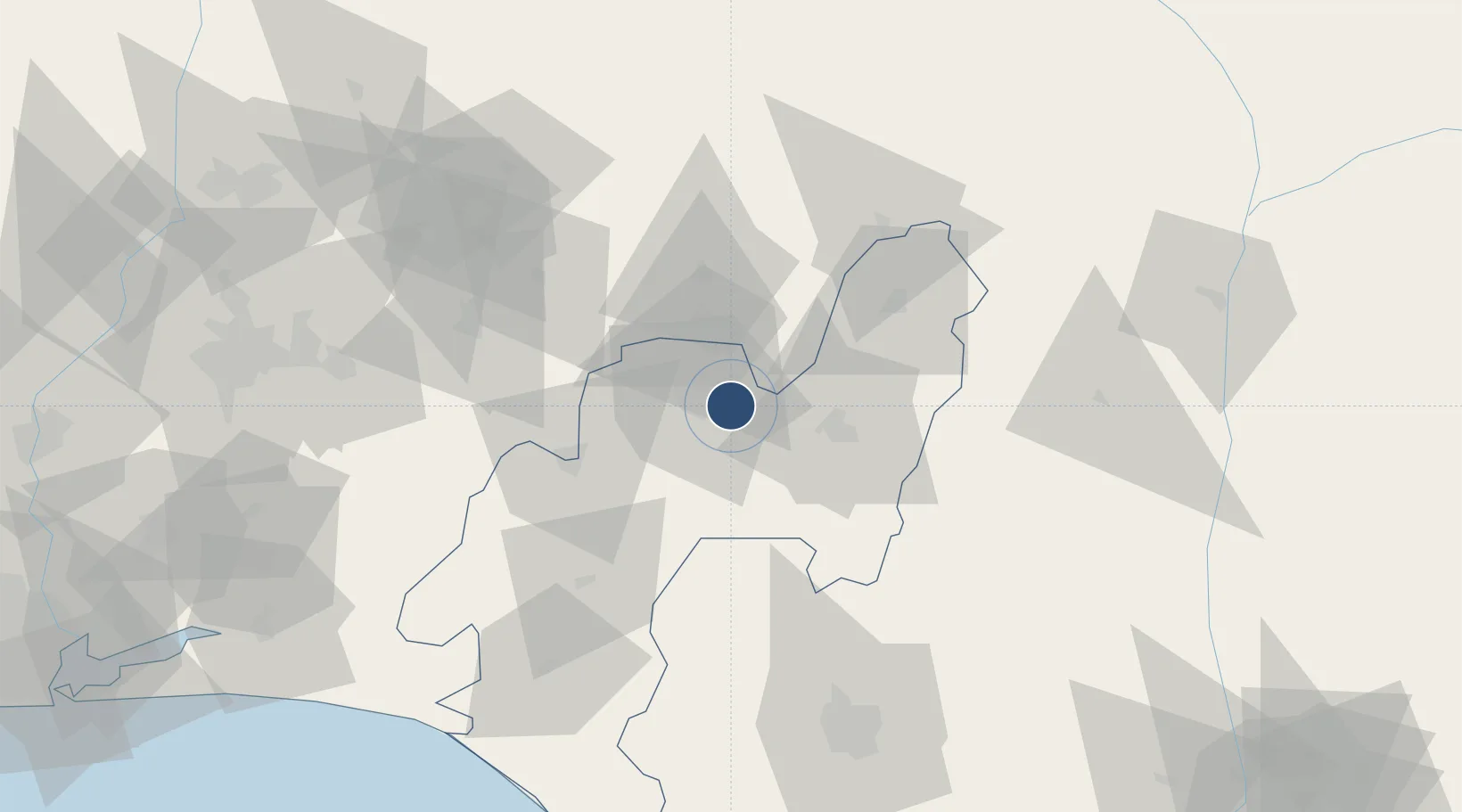
7.2467°, 5.3010°
9,195 ft
Longest runway
1
Runways
1,100 ft
Elevation
Runway & Layout

Radio Frequencies
TWR
118.2 MHz
Navaids
AK NDB Akure 276 kHz
Runways · 1
| Runway | Dimensions | Surface | True heading | Lit |
|---|---|---|---|---|
| 03/21 | 9,195 × 148ft | Asphalt | 024° | — |
Airport Specifications
IATA code
AKR
ICAO code
DNAK
Airport class
Medium airport
Scheduled service
Yes
Runway surface
Asphalt
Served city
Akure
Location
Nearby Logistics Neighbours
Airports
- 1Benin Airport109 km
- 2Ibadan Airport146 km
- 3General Tunde Idiagbon International Airport160 km
- 4Asaba International Airport190 km
- 5Warri Airport192 km
Cities
- 1Ondo54 km
- 2Olorunsogo66 km
- 3Osogbo100 km
- 4Auchi108 km
- 5Idi Oro126 km
Ports
- 1Koko140 km
- 2Sapele156 km
- 3Ukpokiti Marine Terminal176 km
- 4Escravos Oil Terminal197 km
- 5Warri198 km
Trade Zones
DatabookThe Record of Consolidated Knowledge
Nigeria beyond logistics?