UN/LOCODE hub · Nigeria
NGLKK
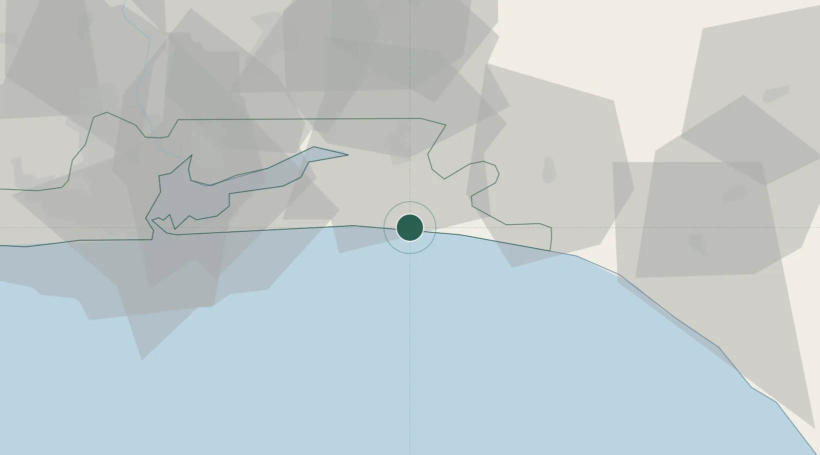
Ibeju - Lekki
6.4272°, 4.0053°
2
Transport functions
1
Container terminals
Transport Functions
Port
Road
Hub Profile
Region
LA
Logistics facilities
1
Container terminals
1
Location
Nearby Logistics Neighbours
Ports
- 1Lagos67 km
- 2Tin Can Island73 km
- 3Ukpokiti Marine Terminal120 km
- 4Escravos Oil Terminal151 km
- 5Koko168 km
Airports
- 1Murtala Muhammed International Airport77 km
- 2Ibadan Airport104 km
- 3Akure Airport170 km
- 4Benin Airport177 km
- 5Cotonou Cadjehoun International Airport179 km
Trade Zones
- 1Lekki Free Zone4 km
- 2Lekki Free Trade Zone5 km
- 3Ogogoro Industrial Park11 km
- 4Lagos Free Trade Zone13 km
- 5Olokola Free Trade Zone37 km
DatabookThe Record of Consolidated Knowledge
Nigeria beyond logistics?