Export Processing Zone · Nigeria

Lagos Free Trade Zone Active
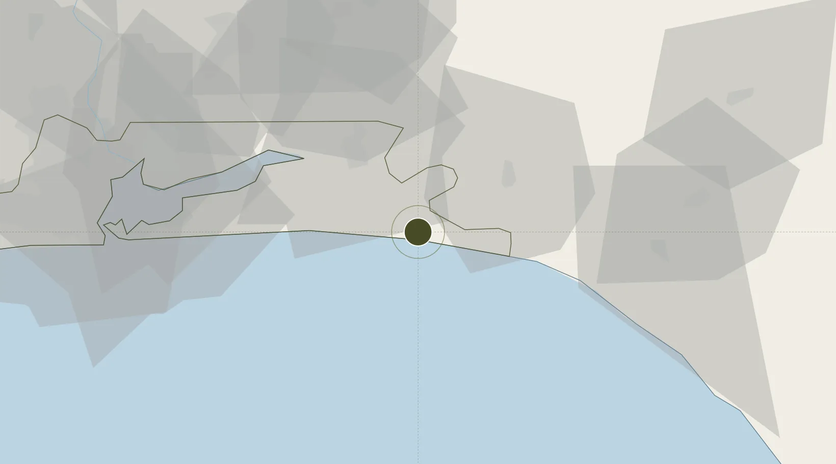
6.4285°, 4.1267°
800 ha
Zone area
80.4 km
Nearest port
90.5 km
Nearest airport

Gateway access

Nearest neighbours — logibook spatial index (haversine) over the source coordinates

Zone profile

Zone type
Export Processing Zone
the World Bank SEZ database
Region
Lagos
the World Bank SEZ database
Status
Active
the World Bank SEZ database
Established
2011
the World Bank SEZ database
Management
Private management
the World Bank SEZ database
Operator
Lagos Free Trade Zone Company
the World Bank SEZ database
Regulatory authority
Nigeria Export Processing Zone Authority (NEPZA)
the World Bank SEZ database
Legal framework
Nigeria Export Processing Zones Decree No 63
the World Bank SEZ database

Location

Location of NGA15
Natural Earth 10m (public domain) · Lagos · NGA15 · 6.43, 4.13GoogleOSMYandex

Fiscal & incentives

Corporate tax
30%
the World Bank SEZ database
Tax relief
100% exempt
the World Bank SEZ database
Relief duration
Perpetual
the World Bank SEZ database
VAT
100% exempt from consumption tax on utilities
the World Bank SEZ database
Import duty (inputs)
100% exempt
the World Bank SEZ database
Import duty (capex)
100% exempt
the World Bank SEZ database
Profit repatriation
100% exempt from repatriation tax on capital, profits, and dividends
the World Bank SEZ database
Capital gains
100% exempt from any government tax
the World Bank SEZ database
Withholding tax
100% exempt from any government tax
the World Bank SEZ database
Min. investment
None
the World Bank SEZ database
Min. export
0%
the World Bank SEZ database
Employment incentive
100% exempt from any government tax
the World Bank SEZ database
Developer incentive
Yes
the World Bank SEZ database

Nearby Logistics Neighbours

Ports
  1. 1Lagos80 km
  2. 2Tin Can Island86 km
  3. 3Ukpokiti Marine Terminal110 km
  4. 4Escravos Oil Terminal141 km
  5. 5Koko156 km
Nearest neighbours — logibook spatial index (haversine) over the source coordinates
Airports
  1. 1Murtala Muhammed International Airport91 km
  2. 2Ibadan Airport105 km
  3. 3Akure Airport158 km
  4. 4Benin Airport163 km
  5. 5Cotonou Cadjehoun International Airport193 km
Nearest neighbours — logibook spatial index (haversine) over the source coordinates
Cities
  1. 1Ibeju - Lekki13 km
  2. 2Oregun55 km
  3. 3Ogijo74 km
  4. 4Falomo77 km
  5. 5Apapa84 km
Nearest neighbours — logibook spatial index (haversine) over the source coordinates
Trade Zones
  1. 1Lekki Free Zone15 km
  2. 2Lekki Free Trade Zone18 km
  3. 3Ogogoro Industrial Park23 km
  4. 4Olokola Free Trade Zone24 km
  5. 5Kajola Specialized Railway Industrial Free Zone60 km
Nearest neighbours — logibook spatial index (haversine) over the source coordinates
DatabookThe Record of Consolidated Knowledge
Nigeria beyond logistics?
Browse databook

All Sources

Trade Zonesthe World Bank SEZ database
CC BY 4.0
Portsthe NGA World Port Index
Public domain (US gov)
AirportsOurAirports
Public domain
LocationsUN/LOCODE
UN/LOCODE — free
← Nigeria trade zones