Export Processing Zone · Nigeria

Koko Free Trade Zone Inactive
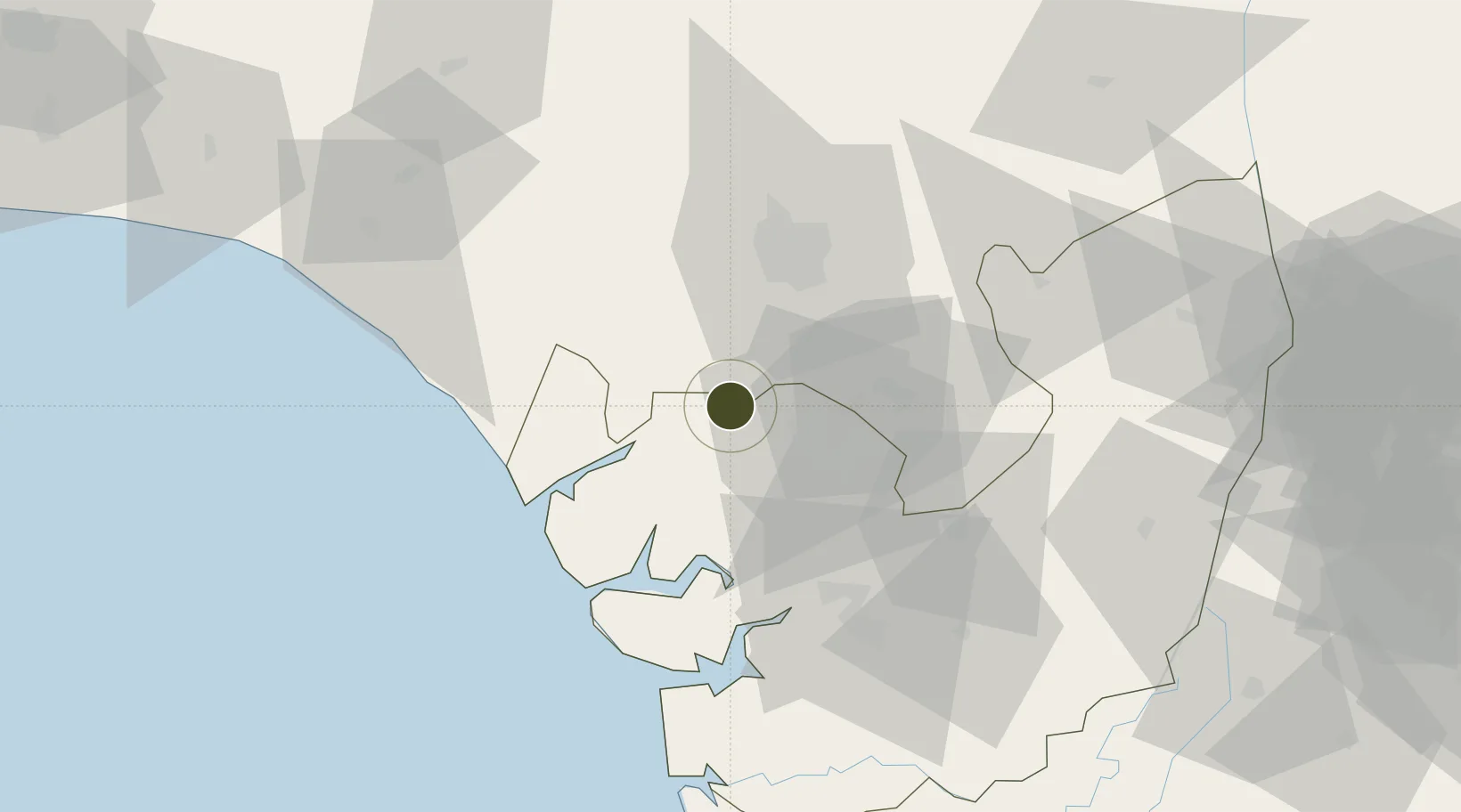
5.9895°, 5.5034°
2,327 ha
Zone area
4.2 km
Nearest port
37.9 km
Nearest airport

Gateway access

Nearest neighbours — logibook spatial index (haversine) over the source coordinates

Zone profile

Zone type
Export Processing Zone
Open Zone Map
Region
Delta
Open Zone Map
Status
Inactive
Open Zone Map
Management
Public
Open Zone Map
Operator
Nigerian Export Processing Zones Authority
Open Zone Map
Legal framework
Section 10 (4) of the Nigeria Export Processing Zones Act No 63 of 1992
Open Zone Map

Location

Location of ozm-2969
Natural Earth 10m (public domain) · Delta · ozm-2969 · 5.99, 5.50GoogleOSMYandex

Nearby Logistics Neighbours

Ports
  1. 1Koko4 km
  2. 2Sapele22 km
  3. 3Warri58 km
  4. 4Burutu71 km
  5. 5Escravos Oil Terminal78 km
Nearest neighbours — logibook spatial index (haversine) over the source coordinates
Airports
  1. 1Benin Airport38 km
  2. 2Warri Airport56 km
  3. 3Asaba International Airport131 km
  4. 4Bayelsa International Airport139 km
  5. 5Akure Airport142 km
Nearest neighbours — logibook spatial index (haversine) over the source coordinates
Cities
  1. 1Amukpe27 km
  2. 2Olorunsogo100 km
  3. 3Oyo122 km
  4. 4Ea Terminal136 km
  5. 5Asaba140 km
Nearest neighbours — logibook spatial index (haversine) over the source coordinates
Trade Zones
  1. 1Warri Oil & Gas Free Zone53 km
  2. 2Ogidigben Gas Revolution Industrial Park (GRIP)54 km
  3. 3Ore Industrial Park (Ondo Industrial City)118 km
  4. 4Kajola Specialized Railway Industrial Free Zone131 km
  5. 5Olokola Free Trade Zone137 km
Nearest neighbours — logibook spatial index (haversine) over the source coordinates
DatabookThe Record of Consolidated Knowledge
Nigeria beyond logistics?
Browse databook

All Sources

Trade ZonesOpen Zone Map
CC BY
Portsthe NGA World Port Index
Public domain (US gov)
AirportsOurAirports
Public domain
LocationsUN/LOCODE
UN/LOCODE — free
← Nigeria trade zones