Channel & Berth Profile
Pilotage, Tugs & Services
Pilotage compulsoryYES
Pilotage availableYES
Tug assistanceYES
Salvage tugsNO
Shore powerYES
Potable waterYES
Diesel bunkersNO
MedicalYES
Facilities & Capabilities
Container—
Ro-Ro—
Liquid bulk—
Dry bulk—
Oil terminal—
Break bulk—
Dry dockNO
RepairsNO
BunkeringNO
Rail linkYES
Dangerous cargo—
ISPS security—
Harbour Specifications
Harbour size
Very Small
Harbour type
River (Natural)
Shelter
Good
Water body
Bight of Benin; Gulf of Guinea; North Atlantic Ocean
Tidal range
0.5 m
Pilotage
Yes
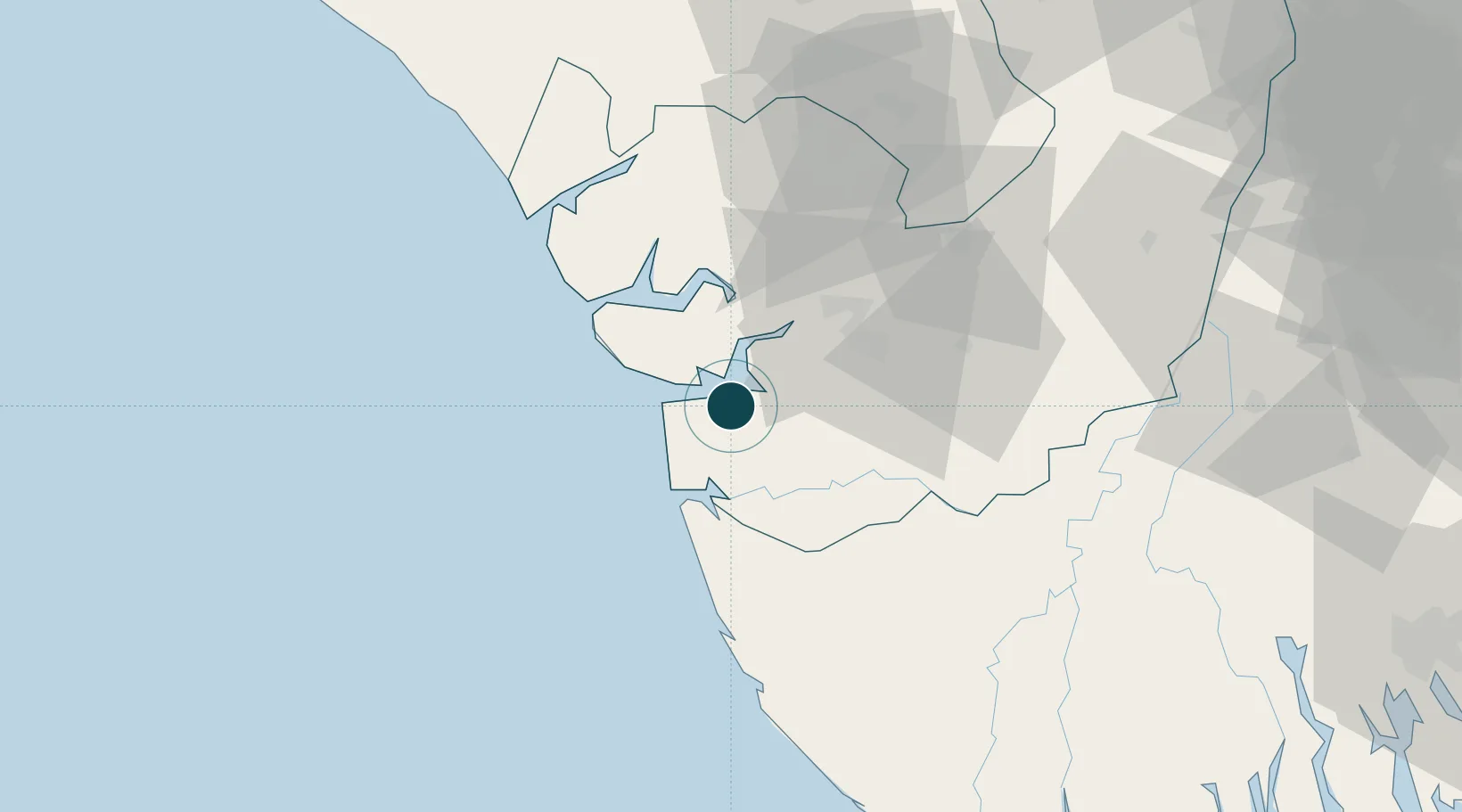
Location
Nearby Logistics Neighbours
Ports
- 1Warri32 km
- 2Forcados41 km
- 3Escravos Oil Terminal58 km
- 4Sapele64 km
- 5Koko72 km
Cities
- 1Amukpe62 km
- 2Ea Terminal67 km
- 3Olodi94 km
- 4Oyo102 km
- 5Erha Terminal127 km
Airports
- 1Warri Airport45 km
- 2Bayelsa International Airport89 km
- 3Benin Airport108 km
- 4Asaba International Airport160 km
- 5Port Harcourt International Airport165 km
Trade Zones
DatabookThe Record of Consolidated Knowledge
Nigeria beyond logistics?