Seaport · Nigeria

Ukpokiti Marine TerminalNGUKP

5.7333°, 4.8333°
23.2 m
Channel depth

Channel & Berth Profile

SEA LEVEL (CD)CHANNEL BEDChannel · 23.2 mAnchorage · 23.2 mOil terminal · 26.0 m
NGA World Port Index

Pilotage, Tugs & Services

Pilotage compulsoryYES
Pilotage availableYES
Tug assistanceYES
Potable waterNO
MedicalNO
NGA World Port Index

Facilities & Capabilities

Container
Ro-Ro
Liquid bulk
Dry bulk
Oil terminal
Break bulk
Dry dock
Repairs
BunkeringNO
Rail link
Dangerous cargo
ISPS security
NGA World Port Index

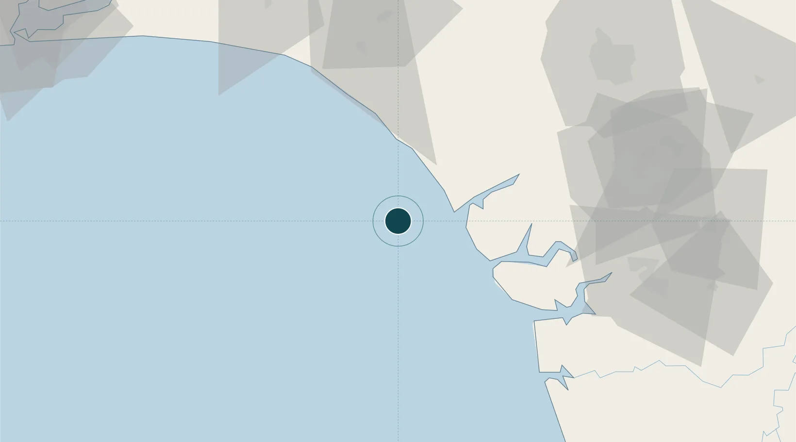
Harbour Specifications

Harbour size
Very Small
NGA World Port Index
Harbour type
Open Roadstead
NGA World Port Index
Shelter
Poor
NGA World Port Index
Water body
Bight of Benin; Gulf of Guinea; North Atlantic Ocean
NGA World Port Index
Pilotage
Yes
NGA World Port Index

Location

Location of NGUKP
Natural Earth 10m (public domain) · NGUKP · 5.73, 4.83GoogleOSMYandex

Nearby Logistics Neighbours

Ports
  1. 1Escravos Oil Terminal32 km
  2. 2Forcados74 km
  3. 3Koko76 km
  4. 4Burutu85 km
  5. 5Sapele96 km
Nearest neighbours — logibook spatial index (haversine) over the source coordinates
Cities
  1. 1Oyo48 km
  2. 2Erha Terminal68 km
  3. 3Amukpe99 km
  4. 4Olorunsogo113 km
  5. 5Ea Terminal117 km
Nearest neighbours — logibook spatial index (haversine) over the source coordinates
Airports
  1. 1Benin Airport107 km
  2. 2Warri Airport110 km
  3. 3Bayelsa International Airport175 km
  4. 4Akure Airport176 km
  5. 5Murtala Muhammed International Airport192 km
Nearest neighbours — logibook spatial index (haversine) over the source coordinates
Trade Zones
  1. 1Ogidigben Gas Revolution Industrial Park (GRIP)42 km
  2. 2Koko Free Trade Zone79 km
  3. 3Olokola Free Trade Zone93 km
  4. 4Warri Oil & Gas Free Zone100 km
  5. 5Lagos Free Trade Zone110 km
Nearest neighbours — logibook spatial index (haversine) over the source coordinates
DatabookThe Record of Consolidated Knowledge
Nigeria beyond logistics?
Browse databook

All Sources

Portsthe NGA World Port Index
Public domain (US gov)
AirportsOurAirports
Public domain
LocationsUN/LOCODE
UN/LOCODE — free
Trade Zonesthe World Bank SEZ database
CC BY 4.0
Trade ZonesOpen Zone Map
CC BY
← Nigeria ports