Channel & Berth Profile
Pilotage, Tugs & Services
Pilotage compulsoryYES
Pilotage availableYES
Pilotage advisableYES
Tug assistanceYES
Potable waterNO
Diesel bunkersNO
MedicalYES
Facilities & Capabilities
Container—
Ro-Ro—
Liquid bulk—
Dry bulk—
Oil terminal—
Break bulk—
Dry dock—
Repairs—
BunkeringNO
Rail link—
Dangerous cargo—
ISPS security—
Harbour Specifications
Harbour size
Very Small
Harbour type
Open Roadstead
Shelter
Poor
Water body
Bight of Benin; Gulf of Guinea; North Atlantic Ocean
Tidal range
1.5 m
Pilotage
Yes
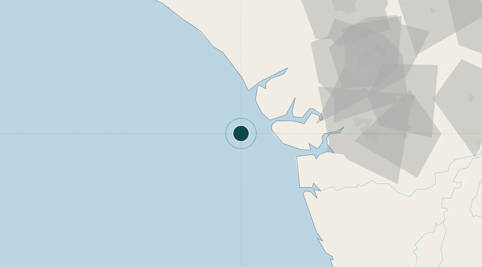
Location
Nearby Logistics Neighbours
Ports
- 1Ukpokiti Marine Terminal32 km
- 2Forcados42 km
- 3Burutu58 km
- 4Koko76 km
- 5Warri81 km
Cities
- 1Oyo48 km
- 2Erha Terminal74 km
- 3Ea Terminal86 km
- 4Amukpe89 km
- 5Bonga114 km
Airports
- 1Warri Airport91 km
- 2Benin Airport113 km
- 3Bayelsa International Airport146 km
- 4Akure Airport197 km
- 5Asaba International Airport200 km
Trade Zones
DatabookThe Record of Consolidated Knowledge
Nigeria beyond logistics?