Transport Functions
Port
Fixed Transport
Hub Profile
Region
ON
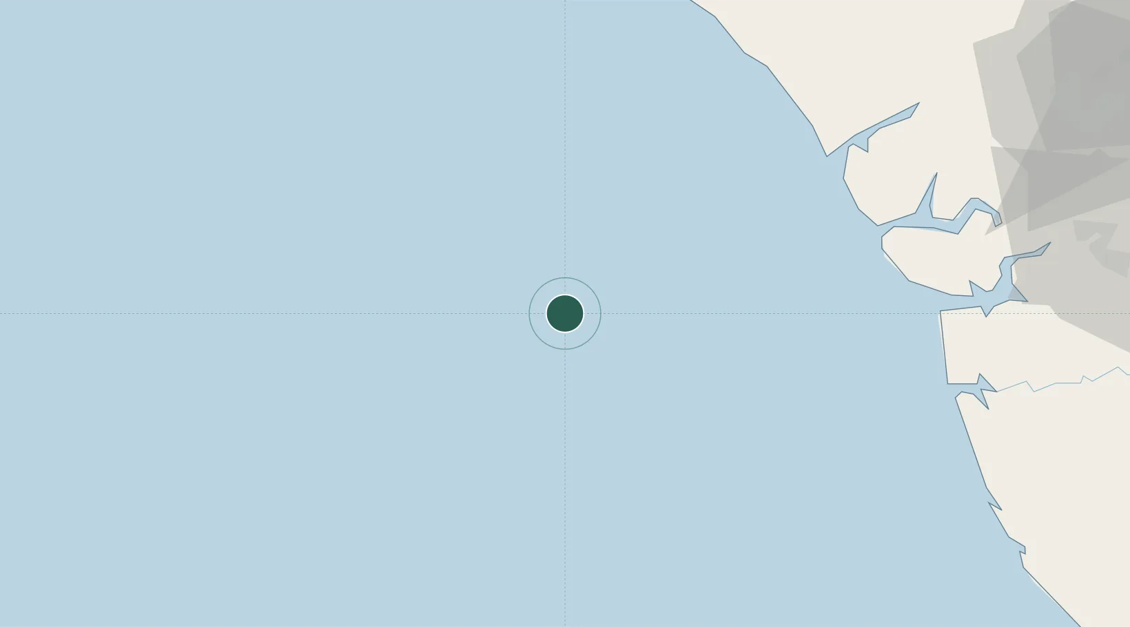
Location
Nearby Logistics Neighbours
Cities
- 1Oyo26 km
- 2Bonga100 km
- 3Ea Terminal121 km
- 4Ibeju - Lekki126 km
- 5Oregun149 km
Ports
- 1Ukpokiti Marine Terminal68 km
- 2Escravos Oil Terminal74 km
- 3Forcados95 km
- 4Burutu127 km
- 5Koko143 km
Airports
- 1Warri Airport165 km
- 2Benin Airport175 km
- 3Murtala Muhammed International Airport178 km
- 4Bayelsa International Airport210 km
- 5Ibadan Airport228 km
Trade Zones
- 1Ogidigben Gas Revolution Industrial Park (GRIP)98 km
- 2Olokola Free Trade Zone118 km
- 3Lagos Free Trade Zone122 km
- 4Lekki Free Trade Zone129 km
- 5Lekki Free Zone130 km
DatabookThe Record of Consolidated Knowledge
Nigeria beyond logistics?