Large airport · Nigeria

Murtala Muhammed International AirportDNMM
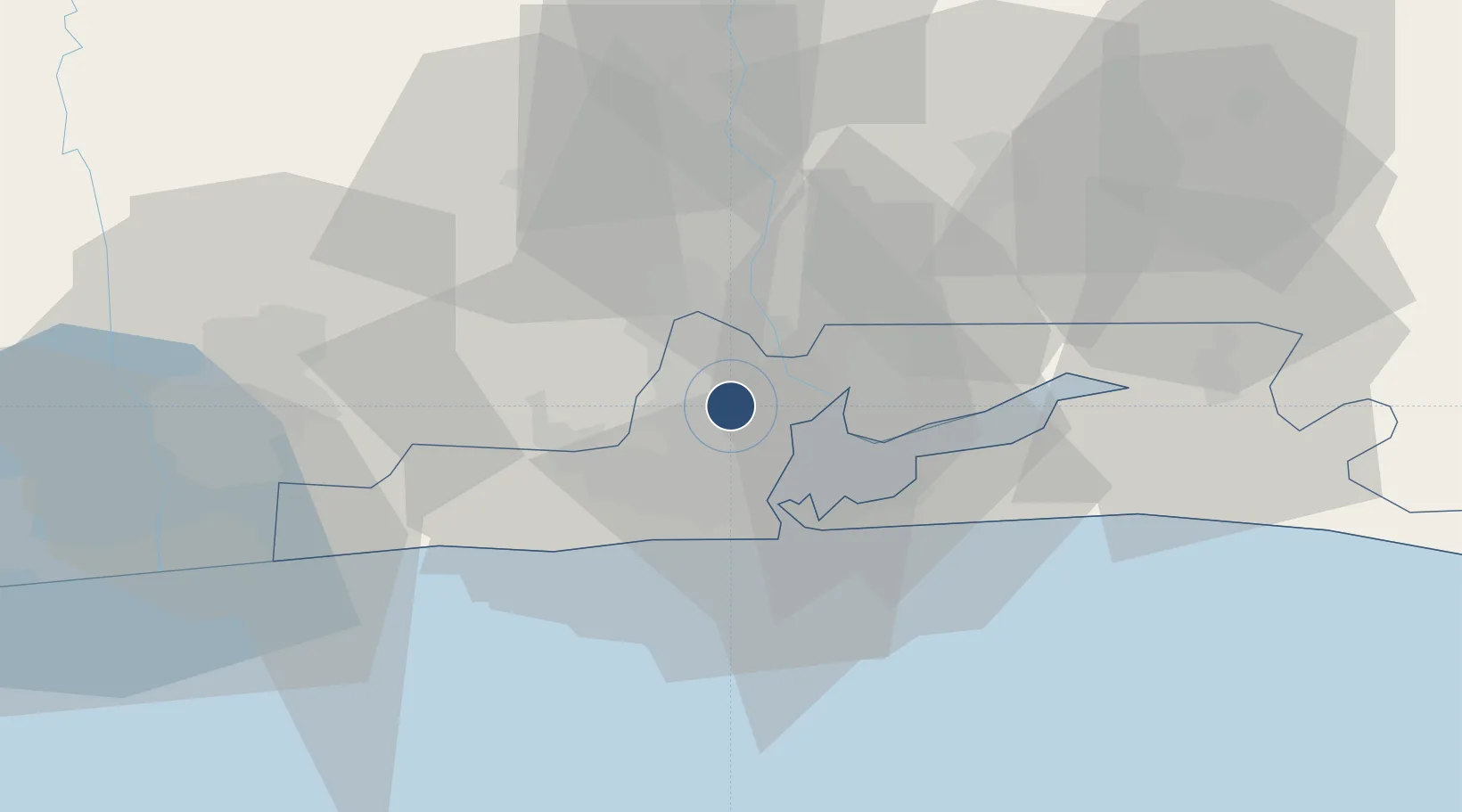
6.5774°, 3.3212°
12,794 ft
Longest runway
2
Runways
135 ft
Elevation

Runway & Layout

Murtala Muhammed International Airport runway & taxiway layout
Runway & taxiway layout — OpenStreetMap (ODbL) / OurAirports

Radio Frequencies

ATIS
123.8 MHz
TOWER
118.1 MHz
APP
124.3 MHz
AFIS
120.9 MHz
LAGOS WEST
AFIS
127.3 MHz
LAGOS EAST
OurAirports

Navaids

LA NDB Lagos 336 kHz
LAG VOR-DME Lagos 113.70 MHz
LOS VOR-DME Lagos 112.90 MHz
OurAirports

Runways · 2

RunwayDimensions SurfaceTrue headingLit
18R/36L 12,794 × 197ft Asphalt 180°
18L/36R 8,997 × 148ft Asphalt 180°
OurAirports

Airport Specifications

IATA code
LOS
OurAirports
ICAO code
DNMM
OurAirports
Airport class
Large airport
OurAirports
Scheduled service
Yes
OurAirports
Runway surface
Asphalt
OurAirports
Served city
Lagos
OurAirports

Location

Location of DNMM
Natural Earth 10m (public domain) · Lagos · DNMM · 6.58, 3.32GoogleOSMYandex

Nearby Logistics Neighbours

Airports
  1. 1Cotonou Cadjehoun International Airport106 km
  2. 2Ibadan Airport114 km
  3. 3Akure Airport231 km
  4. 4Lomé–Tokoin International Airport233 km
  5. 5General Tunde Idiagbon International Airport244 km
Nearest neighbours — logibook spatial index (haversine) over the source coordinates
Cities
  1. 1Oshodi3 km
  2. 2Ifako6 km
  3. 3Orile7 km
  4. 4Aguda7 km
  5. 5Shomolu7 km
Nearest neighbours — logibook spatial index (haversine) over the source coordinates
Ports
  1. 1Lagos22 km
  2. 2Tin Can Island26 km
  3. 3Cotonou101 km
  4. 4Ukpokiti Marine Terminal192 km
  5. 5Kpeme204 km
Nearest neighbours — logibook spatial index (haversine) over the source coordinates
Trade Zones
  1. 1Airline Services Export Processing Zone1 km
  2. 2NAHCO Free Trade Zone1 km
  3. 3Quits Aviation Services Zone2 km
  4. 4Tomaro Industrial Park16 km
  5. 5Nasco Town Free Zone17 km
Nearest neighbours — logibook spatial index (haversine) over the source coordinates
DatabookThe Record of Consolidated Knowledge
Nigeria beyond logistics?
Browse databook

All Sources

AirportsOurAirports
Public domain
Portsthe NGA World Port Index
Public domain (US gov)
LocationsUN/LOCODE
UN/LOCODE — free
Trade Zonesthe World Bank SEZ database
CC BY 4.0
Trade ZonesOpen Zone Map
CC BY
InfrastructureOpenStreetMap
ODbL 1.0
← Nigeria airports