Export Processing Zone · Nigeria

Olokola Free Trade Zone Inactive
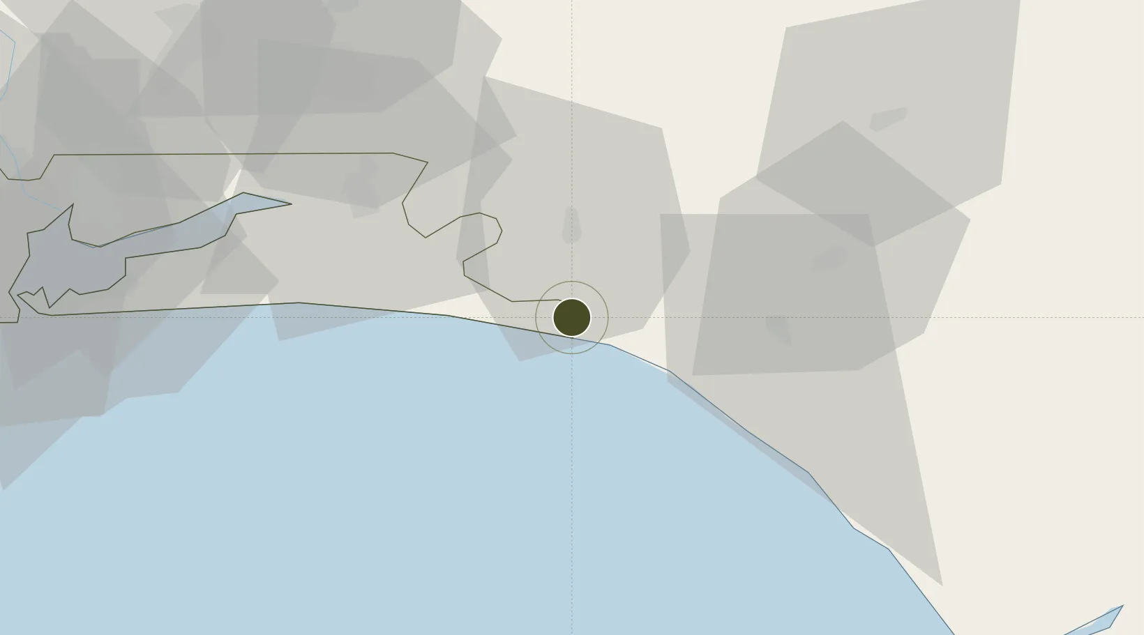
6.4064°, 4.3403°
20,000 ha
Zone area
92.6 km
Nearest port
113.6 km
Nearest airport

Gateway access

Nearest neighbours — logibook spatial index (haversine) over the source coordinates

Zone profile

Zone type
Export Processing Zone
Open Zone Map
Region
Lagos
Open Zone Map
Status
Inactive
Open Zone Map
Management
Public-Private Partnership
Open Zone Map
Operator
IPEM, Ogun State, Ondo State
Open Zone Map
Legal framework
Section 10 (4) of the Nigeria Export Processing Zones Act No 63 of 1992
Open Zone Map

Location

Location of ozm-2973
Natural Earth 10m (public domain) · Lagos · ozm-2973 · 6.41, 4.34GoogleOSMYandex

Nearby Logistics Neighbours

Ports
  1. 1Ukpokiti Marine Terminal93 km
  2. 2Lagos104 km
  3. 3Tin Can Island110 km
  4. 4Escravos Oil Terminal124 km
  5. 5Koko133 km
Nearest neighbours — logibook spatial index (haversine) over the source coordinates
Airports
  1. 1Ibadan Airport114 km
  2. 2Murtala Muhammed International Airport114 km
  3. 3Benin Airport140 km
  4. 4Akure Airport141 km
  5. 5Warri Airport187 km
Nearest neighbours — logibook spatial index (haversine) over the source coordinates
Cities
  1. 1Ibeju - Lekki37 km
  2. 2Oregun79 km
  3. 3Olorunsogo81 km
  4. 4Ondo94 km
  5. 5Ogijo97 km
Nearest neighbours — logibook spatial index (haversine) over the source coordinates
Trade Zones
  1. 1Lagos Free Trade Zone24 km
  2. 2Lekki Free Zone39 km
  3. 3Lekki Free Trade Zone42 km
  4. 4Kajola Specialized Railway Industrial Free Zone44 km
  5. 5Ogogoro Industrial Park46 km
Nearest neighbours — logibook spatial index (haversine) over the source coordinates
DatabookThe Record of Consolidated Knowledge
Nigeria beyond logistics?
Browse databook

All Sources

Trade ZonesOpen Zone Map
CC BY
Portsthe NGA World Port Index
Public domain (US gov)
AirportsOurAirports
Public domain
LocationsUN/LOCODE
UN/LOCODE — free
← Nigeria trade zones