Transport Functions
Multimodal
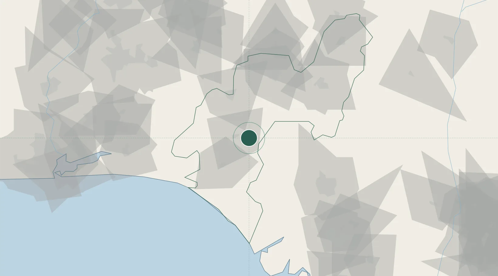
Hub Profile
Place type
Populated place
Region
Ondo State
Time zone
Africa/Lagos
Elevation
63 m
Location
Nearby Logistics Neighbours
Cities
- 1Ondo45 km
- 2Ibeju - Lekki115 km
- 3Osogbo124 km
- 4Amukpe125 km
- 5Alaba126 km
Ports
- 1Koko97 km
- 2Ukpokiti Marine Terminal113 km
- 3Sapele120 km
- 4Escravos Oil Terminal137 km
- 5Warri158 km
Airports
- 1Akure Airport66 km
- 2Benin Airport81 km
- 3Ibadan Airport133 km
- 4Warri Airport155 km
- 5Murtala Muhammed International Airport186 km
Trade Zones
DatabookThe Record of Consolidated Knowledge
Nigeria beyond logistics?