Export Processing Zone · Nigeria

Ore Industrial Park (Ondo Industrial City) Under Development
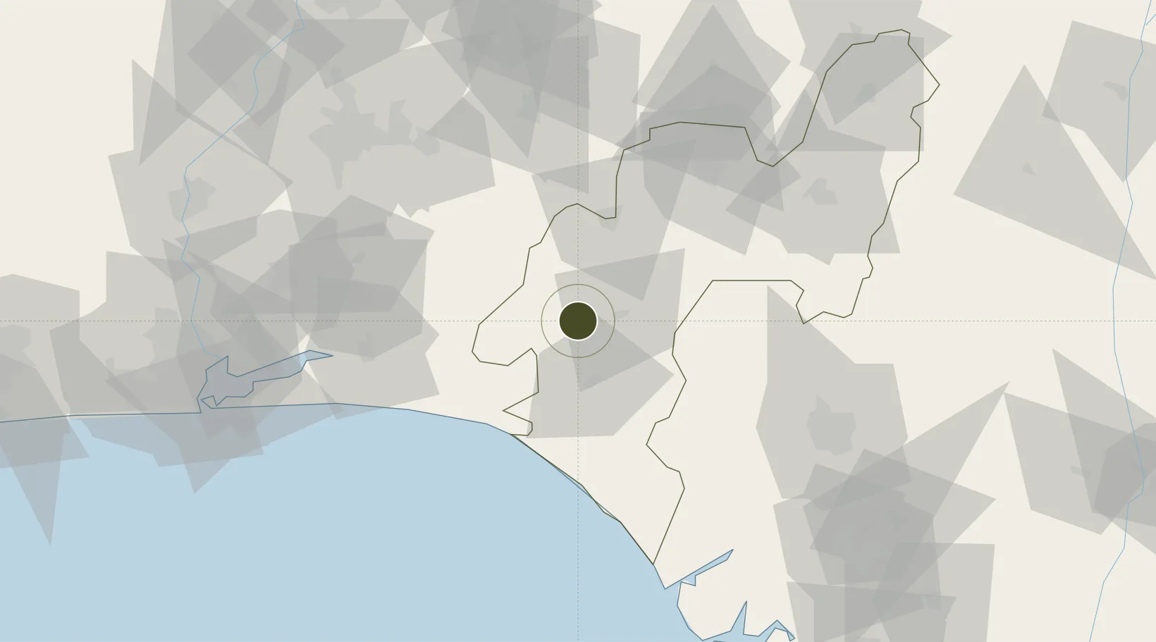
6.7271°, 4.7341°
1,000 ha
Zone area
111.0 km
Nearest port
85.2 km
Nearest airport

Gateway access

Nearest neighbours — logibook spatial index (haversine) over the source coordinates

Zone profile

Zone type
Export Processing Zone
Open Zone Map
Region
Ondo
Open Zone Map
Status
Under Development
Open Zone Map
Management
Public-Private Partnership
Open Zone Map
Operator
Ondo State Government, ONDIPA, Hessmac Industry Limited
Open Zone Map
Legal framework
Section 10 (4) of the Nigeria Export Processing Zones Act No 63 of 1992
Open Zone Map

Location

Location of ozm-2965
Natural Earth 10m (public domain) · Ondo · ozm-2965 · 6.73, 4.73GoogleOSMYandex

Nearby Logistics Neighbours

Ports
  1. 1Ukpokiti Marine Terminal111 km
  2. 2Koko114 km
  3. 3Sapele140 km
  4. 4Escravos Oil Terminal140 km
  5. 5Lagos152 km
Nearest neighbours — logibook spatial index (haversine) over the source coordinates
Airports
  1. 1Akure Airport85 km
  2. 2Benin Airport106 km
  3. 3Ibadan Airport109 km
  4. 4Murtala Muhammed International Airport157 km
  5. 5Warri Airport174 km
Nearest neighbours — logibook spatial index (haversine) over the source coordinates
Cities
  1. 1Olorunsogo29 km
  2. 2Ondo43 km
  3. 3Ibeju - Lekki87 km
  4. 4Egbeda104 km
  5. 5Alaba105 km
Nearest neighbours — logibook spatial index (haversine) over the source coordinates
Trade Zones
  1. 1Kajola Specialized Railway Industrial Free Zone17 km
  2. 2Olokola Free Trade Zone56 km
  3. 3Lagos Free Trade Zone75 km
  4. 4Lekki Free Zone87 km
  5. 5Lekki Free Trade Zone91 km
Nearest neighbours — logibook spatial index (haversine) over the source coordinates
DatabookThe Record of Consolidated Knowledge
Nigeria beyond logistics?
Browse databook

All Sources

Trade ZonesOpen Zone Map
CC BY
Portsthe NGA World Port Index
Public domain (US gov)
AirportsOurAirports
Public domain
LocationsUN/LOCODE
UN/LOCODE — free
← Nigeria trade zones