Transport Functions
Multimodal
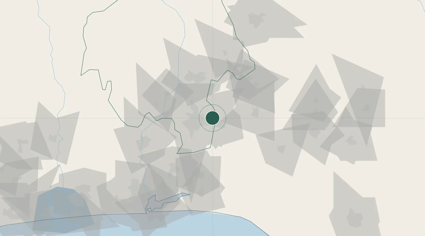
Hub Profile
Place type
Populated place
Region
Oyo State
Time zone
Africa/Lagos
Elevation
191 m
Location
Nearby Logistics Neighbours
Ports
- 1Lagos139 km
- 2Tin Can Island146 km
- 3Ukpokiti Marine Terminal206 km
- 4Koko220 km
- 5Cotonou220 km
Airports
- 1Ibadan Airport16 km
- 2General Tunde Idiagbon International Airport120 km
- 3Murtala Muhammed International Airport128 km
- 4Akure Airport134 km
- 5Benin Airport207 km
Trade Zones
DatabookThe Record of Consolidated Knowledge
Nigeria beyond logistics?