Transport Functions
Multimodal
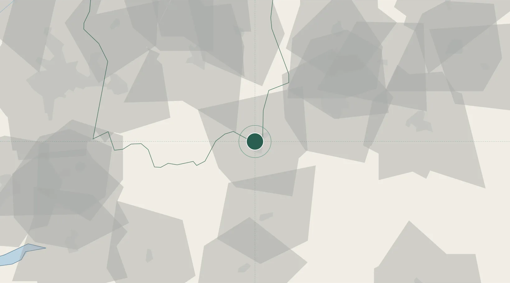
Hub Profile
Place type
Provincial seat
Region
Ondo State
Population
375,000
Time zone
Africa/Lagos
Elevation
263 m
Location
Nearby Logistics Neighbours
Cities
- 1Olorunsogo45 km
- 2Osogbo80 km
- 3Alaba89 km
- 4Egbeda91 km
- 5Idi Oro96 km
Ports
- 1Koko141 km
- 2Ukpokiti Marine Terminal152 km
- 3Sapele163 km
- 4Lagos176 km
- 5Escravos Oil Terminal179 km
Airports
- 1Akure Airport54 km
- 2Ibadan Airport99 km
- 3Benin Airport121 km
- 4General Tunde Idiagbon International Airport154 km
- 5Murtala Muhammed International Airport177 km
Trade Zones
DatabookThe Record of Consolidated Knowledge
Nigeria beyond logistics?