Seaport · Nigeria

WarriNGWAR

5.5167°, 5.7333°
6.4 m
Channel depth
10.1
Port liner connectivity

Channel & Berth Profile

SEA LEVEL (CD)CHANNEL BEDChannel · 6.4 mAnchorage · 6.6 mCargo pier · 6.6 mOil terminal · 6.7 m
NGA World Port Index

Pilotage, Tugs & Services

Pilotage compulsoryYES
Pilotage availableYES
Salvage tugsYES
Shore powerYES
Potable waterYES
Diesel bunkersYES
MedicalYES
NGA World Port Index

Facilities & Capabilities

Container
Ro-Ro
Liquid bulk
Dry bulk
Oil terminal
Break bulk
Dry dockNO
RepairsNO
BunkeringYES
Rail link
Dangerous cargo
ISPS security
NGA World Port Index

Harbour Specifications

Harbour size
Very Small
NGA World Port Index
Harbour type
River (Natural)
NGA World Port Index
Shelter
Good
NGA World Port Index
Water body
Bight of Benin; Gulf of Guinea; North Atlantic Ocean
NGA World Port Index
Tidal range
1 m
NGA World Port Index
Pilotage
Yes
NGA World Port Index

Liner Connectivity

10.1
PLSCI

Port Liner Shipping Connectivity Index for Warri, as published by UNCTAD for the latest available quarter. Higher values indicate stronger scheduled liner-shipping integration.

Shown relative to the highest per-port PLSCI in the dataset (1,657.9).
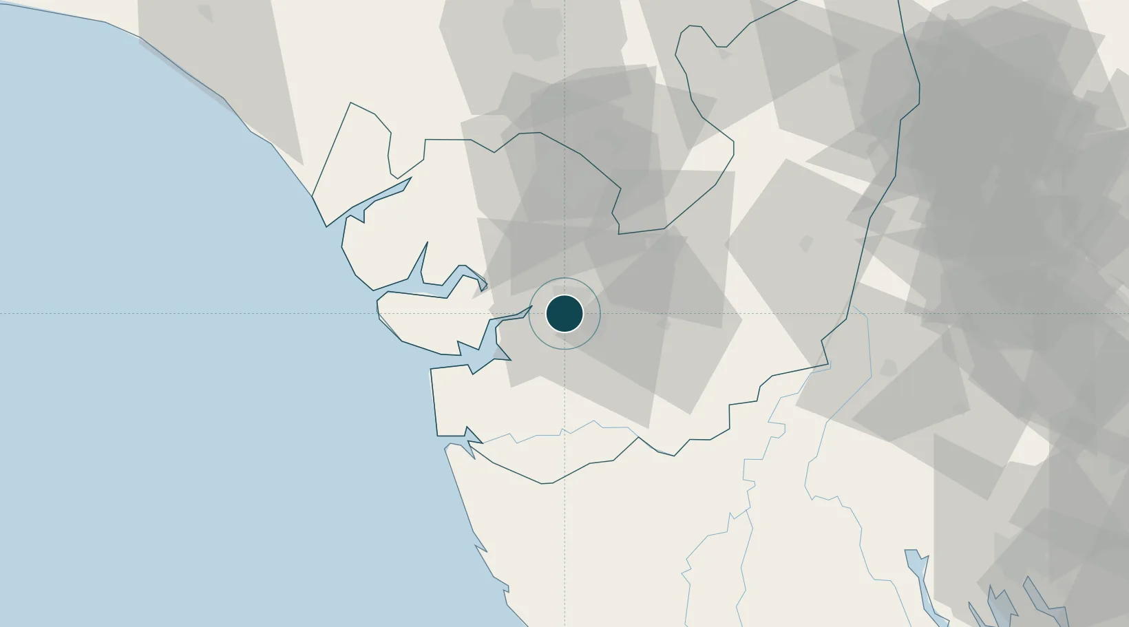
UNCTAD · Port Liner Shipping Connectivity Index

Location

Location of NGWAR
Natural Earth 10m (public domain) · Delta · NGWAR · 5.52, 5.73GoogleOSMYandex

Nearby Logistics Neighbours

Ports
  1. 1Burutu32 km
  2. 2Sapele43 km
  3. 3Koko61 km
  4. 4Forcados72 km
  5. 5Escravos Oil Terminal81 km
Nearest neighbours — logibook spatial index (haversine) over the source coordinates
Cities
  1. 1Amukpe39 km
  2. 2Ea Terminal96 km
  3. 3Olodi108 km
  4. 4Oyo128 km
  5. 5Asaba135 km
Nearest neighbours — logibook spatial index (haversine) over the source coordinates
Airports
  1. 1Warri Airport13 km
  2. 2Bayelsa International Airport81 km
  3. 3Benin Airport90 km
  4. 4Asaba International Airport128 km
  5. 5Port Harcourt International Airport146 km
Nearest neighbours — logibook spatial index (haversine) over the source coordinates
Trade Zones
  1. 1Warri Oil & Gas Free Zone6 km
  2. 2Koko Free Trade Zone58 km
  3. 3Ogidigben Gas Revolution Industrial Park (GRIP)61 km
  4. 4Imo Guangdong Free Trade Zone141 km
  5. 5Brass Oil & Gas City147 km
Nearest neighbours — logibook spatial index (haversine) over the source coordinates
DatabookThe Record of Consolidated Knowledge
Nigeria beyond logistics?
Browse databook

All Sources

Portsthe NGA World Port Index
Public domain (US gov)
Logistics performanceUNCTAD
CC BY 3.0 IGO
AirportsOurAirports
Public domain
LocationsUN/LOCODE
UN/LOCODE — free
Trade Zonesthe World Bank SEZ database
CC BY 4.0
Trade ZonesOpen Zone Map
CC BY
← Nigeria ports